Gmina Serokomla
Located in Łuków County, Lublin Voivodeship Coordinates: 51°41′14″ N 22°18′45″ E
- Population
- 4,005
- 4K
- Elevation
- 159 m
- above sea level
- Local time
- UTC+01:00
- Europe/Warsaw · UTC+01:00
- Places inside
- 1
- listed under Gmina Serokomla
About Gmina Serokomla
Gmina Serokomla is a municipality. Location: Łuków County, Lublin Voivodeship. Population: 4,005. Elevation: 159 m.
In comparison
- No. 10 of 11 places in Łuków County by population
- Nearest larger town: Adamów, 7 km W
Airports nearest to Gmina Serokomla
- Lublin Airport (LUZ) Lublin 57 km
- Warsaw Radom Airport (RDO) Radom 83 km
- Warsaw Chopin Airport (WAW) Warsaw 107 km
Straight-line distance; airports with scheduled flights only. Source: OurAirports (public domain).
Places in Gmina Serokomla
1 place-
Serokomla Village1.1K
Nearby attractions & nature
Everything nearby-
Adamów Ghetto Historic site, Adamów6 km NW
-
Kock Ghetto Historic site, Gmina Kock11 km SE
-
Firlej Ghetto Historic site, Gmina Firlej19 km SE
-
Michów Ghetto Historic site, Michów17 km S
-
Radzyń Ghetto Historic site, Radzyń Podlaski24 km NE
Other cities and towns in Łuków County
-
Gmina Krzywda Municipality, Łuków County17 km NW
-
Łuków Municipality, Łuków County27 km N
-
Gmina Stanin Municipality, Łuków County24 km N
-
Łuków Municipality, Łuków County28 km N
-
Gmina Wola Mysłowska Municipality, Łuków County29 km NW
-
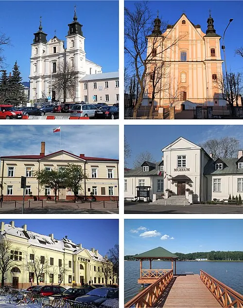 Łuków Town, Łuków27 km N
Sources & licences
Data last updated: