Otwock
Located in Otwock County, Masovian Voivodeship Coordinates: 52°06′58″ N 21°17′21″ E
- Population
- 44,873
- 44.9K
- Elevation
- 106 m
- above sea level
- Local time
- UTC+01:00
- Europe/Warsaw · UTC+01:00
- Places inside
- 2
- listed under Otwock
About Otwock
Otwock is a municipality. Location: Otwock County, Masovian Voivodeship. Population: 44,873. Elevation: 106 m.
In comparison
- Most populous of 8 places in Otwock County
- Nearest larger town: Piaseczno, 19 km W
- 2 sights and natural places within 10 km Otwock Ghetto, Karczew Ghetto
- Listed here: Historic site: 1, Town: 1
Places in Otwock
2 places-
Otwock Town43.4K
-
Otwock Ghetto Historic site
Nearby attractions & nature
Everything nearby-
Karczew Ghetto Historic site, Gmina Karczew4.5 km SW
-
Falenica-Miedzeszyn Ghetto Historic site, Wawer11 km NW
-
Jeziorna Królewska Ghetto Historic site, Gmina Konstancin-Jeziorna13 km W
-
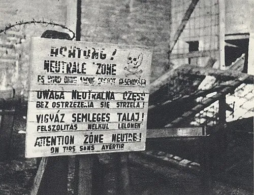 Warsaw Concentration Camp Historic site, Śródmieście25 km NW
-
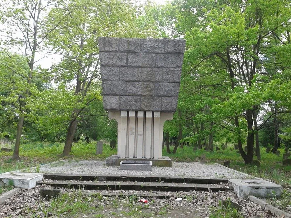 Mińsk Mazowiecki Ghetto Historic site, Mińsk Mazowiecki20 km E
-
Wawer Ghetto Historic site, Wawer16 km NW
-
Kołbiel Ghetto Historic site, Kołbiel14 km E
-
Rembertów Ghetto Historic site, Rembertów17 km NW
Sources & licences
Data last updated: