Siedlce County
Located in Masovian Voivodeship, Poland Coordinates: 52°11′31″ N 22°18′15″ E
- Population
- 81,402
- 81.4K
- Elevation
- 140 m
- above sea level
- Local time
- UTC+01:00
- Europe/Warsaw · UTC+01:00
- Places inside
- 13
- listed under Siedlce County
About Siedlce County
Siedlce County is a district. Location: Masovian Voivodeship, Poland. Population: 81,402.
In comparison
- Listed here: Municipality: 13
Places in Siedlce County
13 places-
Siedlce Municipality18.1K
-
Gmina Zbuczyn Municipality10.1K
-
Kotuń Municipality8.6K
-
Skórzec Municipality7.8K
-
Gmina Mordy Municipality5.9K
-
Gmina Wiśniew Municipality5.8K
-
Gmina Mokobody Municipality5K
-
Gmina Suchożebry Municipality4.7K
-
Gmina Wodynie Municipality4.5K
-
Gmina Przesmyki Municipality3.2K
-
Korczew Municipality2.7K
-
Gmina Domanice Municipality2.6K
-
Paprotnia Municipality2.6K
Nearby attractions & nature
Everything nearby-
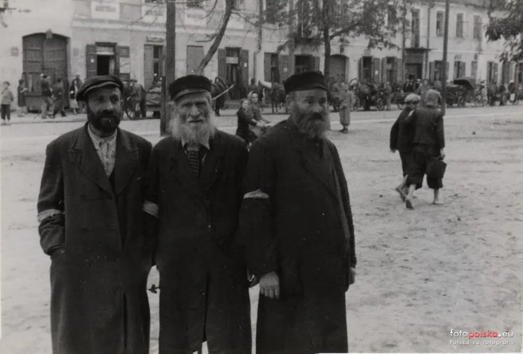 Siedlce Ghetto Historic site, Siedlce2.8 km S
-
Baczki Ghetto Historic site, Repki22 km NE
-
Sokołów Podlaski Ghetto Historic site, Sokołów Podlaski23 km N
Sources & licences
Data last updated: