Bieruń-Lędziny County
Located in Silesian Voivodeship, Poland Coordinates: 50°05′37″ N 19°08′34″ E
- Population
- 59,715
- 59.7K
- Elevation
- 233 m
- above sea level
- Local time
- UTC+01:00
- Europe/Warsaw · UTC+01:00
- Places inside
- 5
- listed under Bieruń-Lędziny County
About Bieruń-Lędziny County
Bieruń-Lędziny County is a district. Location: Silesian Voivodeship, Poland. Population: 59,715.
In comparison
- 7 sights and natural places within 10 km Günthergrube Concentration Camp, Auschwitz II Birkenau Concentration and Extermination Camp
- Listed here: Municipality: 5
Places in Bieruń-Lędziny County
5 places-
Bieruń Municipality19.6K
-
Lędziny Municipality16.8K
-
Imielin Municipality9.1K
-
Bojszowy Municipality7.8K
-
Chełm Śląski Municipality6.2K
Nearby attractions & nature
Everything nearby-
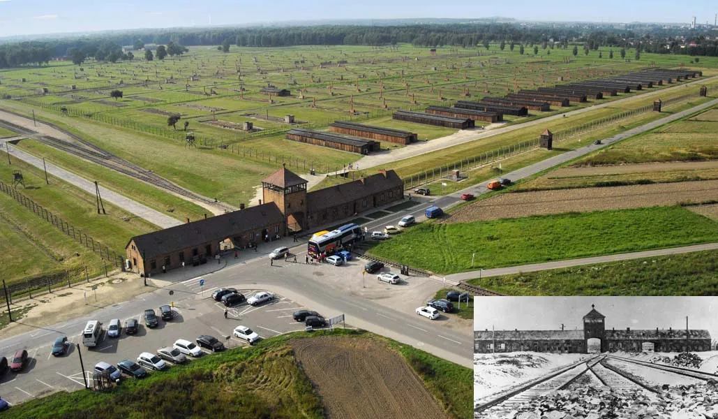 Auschwitz II Birkenau Concentration and Extermination Camp Historic site, Oświęcim6.6 km S
-
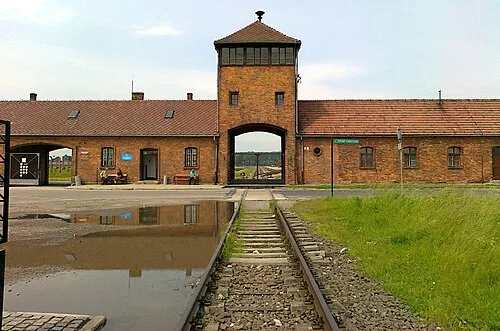 Auschwitz I Concentration Camp Historic site, Oświęcim8.6 km SE
-
Bobrek Concentration Camp Historic site, Chełmek8.9 km SE
-
Pławy Concentration Camp Historic site, Oświęcim7.1 km S
-
Harmense Concentration Camp Historic site, Oświęcim8.2 km S
-
Chełmek Concentration Camp Historic site, Chełmek7.6 km E
Sources & licences
Data last updated: