Gmyszów Wierch
Located in Subcarpathian Voivodeship, Poland Coordinates: 49°11′17″ N 22°09′35″ E
- Elevation
- 870 m
- above sea level
- Local time
- UTC+01:00
- Europe/Warsaw · UTC+01:00
About Gmyszów Wierch
Gmyszów Wierch is a mountain. Location: Subcarpathian Voivodeship, Poland. Elevation: 870 m.
In comparison
- No. 341 of 887 mountains in Poland by elevation
- 8 sights and natural places within 10 km Wierch nad Łazem, Vysoký Grúň
Nearest towns and villages
Nearby attractions & nature
Everything nearby-
Wierch nad Łazem Mountain, Subcarpathian Voivodeship1.8 km NW
-
Vysoký Grúň Mountain, Poland3 km NW
-
Głęboki Wierch Mountain, Komańcza4.4 km NW
-
Koszarka Mountain, Komańcza7.8 km W
-
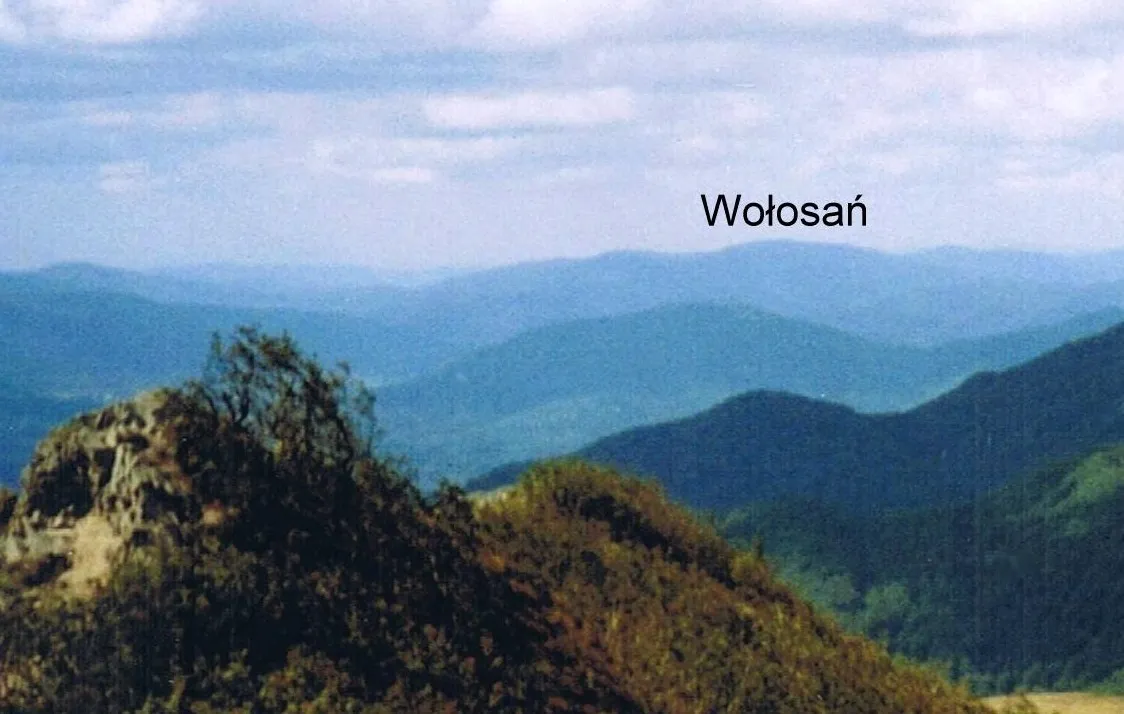 Wołosań Mountain, Gmina Baligród8.8 km NE
-
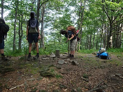 Jaworne Mountain, Gmina Baligród9.3 km NE
-
Sasów Mountain, Cisna9.3 km NE
-
Berest Mountain, Cisna9.7 km NE
More nature in Poland
-
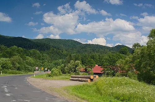 Osina Mountain, Cisna10 km E
-
Hon Mountain, Cisna11 km E
-
Rożki Mountain, Cisna13 km E
-
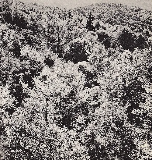 Chryszczata Mountain, Gmina Baligród13 km N
-
Worwosoka Mountain, Cisna13 km E
-
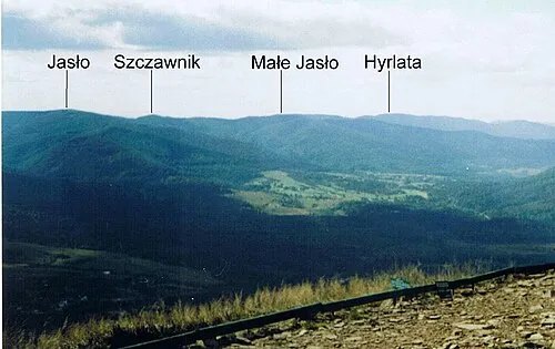 Małe Jasło Mountain, Cisna14 km E
Sources & licences
Data last updated: · 2 independent sources