Wolin
Located in West Pomeranian Voivodeship, Poland Coordinates: 53°55′00″ N 14°30′00″ E
- Elevation
- 30 m
- above sea level
- Local time
- UTC+01:00
- Europe/Warsaw · UTC+01:00
- Population
- 30,000
- 30K
About Wolin
Wolin is an island. Location: West Pomeranian Voivodeship, Poland. Population: 30,000.
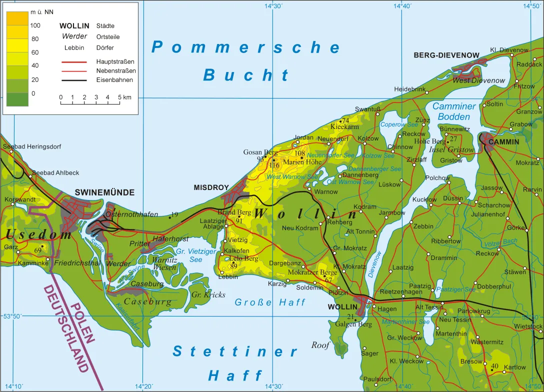
Wolin (Polish: [ˈvɔlin]; German: Wollin [vɔˈliːn]) is an island in the Baltic Sea, just off the Polish coast. Administratively, the island belongs to Poland's West Pomeranian Voivodeship. Wolin is separated from the island of Usedom (Uznam) by the Strait of Świna, and from mainland Pomerania by the Strait of Dziwna. The island has an area of 265 km2 (102 sq mi) and its highest point is Mount Grzywacz at 116 m above sea level. The number of inhabitants is 30,000.
Read more on Wikipedia Text: Wikipedia contributors · CC BY-SA 4.0 · shortened
At a glance
- Length
- 38 km
- Area
- 265 km²
Source: Wikidata
Nearest towns and villages
-
Międzyzdroje Town, Gmina Międzyzdroje3.5 km NW
-
Gmina Międzyzdroje Municipality, Kamień County4.3 km W
-
Warnowo Village, Gmina Wolin3.5 km NE
-
Wicko Neighbourhood, Gmina Międzyzdroje5.1 km SW
-
Dargobądz Village, Gmina Wolin5.6 km SE
-
Wapnica Neighbourhood, Gmina Międzyzdroje5.8 km SW
Nearby attractions & nature
Everything nearby-
Wolgastsee Lake, Mecklenburg-Vorpommern21 km W
-
Krebs See Lake, Korswandt22 km W
-
Neuwarper See Lake, Germany25 km SW
-
Bull-Graben River, Mecklenburg-Vorpommern22 km NE
More lakes, rivers and coasts in Poland
-
Wyspa Ostrów Island, West Pomeranian Voivodeship49 km S
-
Wyspa Okrętowa Island, West Pomeranian Voivodeship52 km S
-
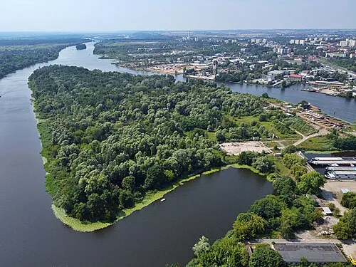 Wyspa Zielona Island, West Pomeranian Voivodeship56 km S
-
Wyspa Gryfia Island, West Pomeranian Voivodeship54 km S
Sources & licences
Data last updated: · 2 independent sources