Faro do Alentejo
Located in Cuba Municipality, Beja District Coordinates: 38°08′53″ N 7°57′17″ W
- Population
- 485
- 485
- Elevation
- 183 m
- above sea level
- Local time
- UTC+00:00
- Europe/Lisbon · UTC+00:00
- Places inside
- 1
- listed under Faro do Alentejo
About Faro do Alentejo
Faro do Alentejo is a municipality. Location: Cuba Municipality, Beja District. Population: 485. Elevation: 183 m.
Faro do Alentejo is a Portuguese civil parish (Freguesia) within the municipality of Cuba. The population in 2011 was 741, in an area of 44.68 km2. It also used to be known as Farinho (which in Portuguese means "small Faro").
Read more on Wikipedia Text: Wikipedia contributors · CC BY-SA 4.0 · shortened
At a glance
- Area
- 44.7 km²
Source: Wikidata
In comparison
- No. 2 of 4 places in Cuba Municipality by population
- Nearest larger town: Faro do Alentejo, 1 km E
Airports nearest to Faro do Alentejo
- Portimão Airport (PRM) Portimão 124 km
- Lisbon Humberto Delgado Airport (LIS) Lisbon 125 km
- Faro - Gago Coutinho International Airport (FAO) Faro 126 km
Straight-line distance; airports with scheduled flights only. Source: OurAirports (public domain).
Places in Faro do Alentejo
1 place-
Faro do Alentejo Village591
Nearby attractions & nature
Everything nearby-
Serra do Mira Mountain, Peroguarda12 km SW
-
Monte de Santa Luzia Mountain, Alvito12 km N
-
Cabeço da Serpe Mountain, União das freguesias de Santa Vitória e Mombeja13 km SW
-
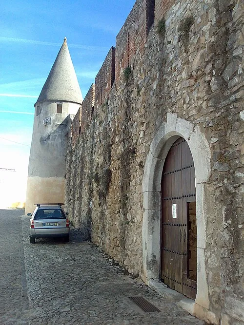 Castle of Viana do Alentejo Historic site, Viana do Alentejo21 km N
-
Serra de Vila Nova Mountain, Vila Nova da Baronia14 km N
-
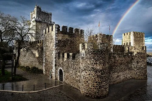 Castelo de Beja Historic site, União das freguesias de Beja (Santiago Maior e São João Baptista)16 km SE
-
Serro da Hortinha Mountain, Ferreira do Alentejo17 km SW
Sources & licences
Data last updated: · 2 independent sources