Penamacor Municipality
Located in Castelo Branco District, Portugal Coordinates: 40°09′18″ N 7°10′17″ W
- Population
- 5,682
- 5.7K
- Elevation
- 458 m
- above sea level
- Local time
- UTC+00:00
- Europe/Lisbon · UTC+00:00
- Places inside
- 9
- listed under Penamacor Municipality
About Penamacor Municipality
Penamacor Municipality is a district. Location: Castelo Branco District, Portugal. Population: 5,682.
Penamacor (Portuguese pronunciation: [pɨnɐmɐˈkoɾ] or [ˌpenɐmɐˈkoɾ]) is a municipality in the district of Castelo Branco in Portugal. The population in 2011 was 5,682, in an area of 563.71 square kilometres (217.65 sq mi). The mayor is António Luís Beites Soares. The municipal holiday is Easter Monday.
Read more on Wikipedia Text: Wikipedia contributors · CC BY-SA 4.0 · shortened
At a glance
- Heritage designation
- heritage without legal protection
- Area
- 564 km²
Source: Wikidata
In comparison
- Listed here: Municipality: 9
Places in Penamacor Municipality
9 places-
Penamacor Municipality1.4K
- 882
- 572
-
Benquerença Municipality463
-
Aranhas Municipality320
-
Salvador Municipality320
-
Meimoa Municipality307
-
Meimão Municipality238
-
Vale da Senhora da Póvoa Municipality222
Nearby attractions & nature
Everything nearby-
Cabeço do Vale da Amoreira Mountain, Castelo Branco District13 km NW
-
Serra dos Alegrios Mountain, União das freguesias de Monsanto e Idanha-a-Velha10 km S
-
Cabeço do Clérigo Mountain, Castelo Branco District22 km NE
-
Cabeço da Casa do Preto Mountain, Castelo Branco District22 km NE
-
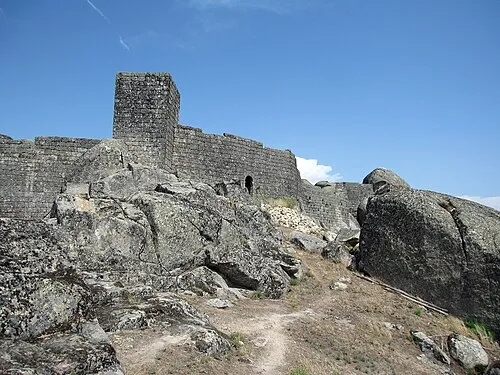 Castelo de Monsanto Historic site, União das freguesias de Monsanto e Idanha-a-Velha14 km S
-
Cabeço do Pombal Mountain, Três Povos15 km NW
Sources & licences
Data last updated: · 2 independent sources