Arraiolos Municipality
Located in Évora District, Portugal Coordinates: 38°46′04″ N 7°57′30″ W
- Population
- 7,363
- 7.4K
- Elevation
- 250 m
- above sea level
- Local time
- UTC+00:00
- Europe/Lisbon · UTC+00:00
- Places inside
- 6
- listed under Arraiolos Municipality
About Arraiolos Municipality
Arraiolos Municipality is a district. Location: Évora District, Portugal. Population: 7,363.
Arraiolos (pronounced [ɐʁɐˈjɔluʃ] ), officially the Town of Arraiolos (Portuguese: Vila de Arraiolos), is a town seat of the Arraiolos Municipality in the Évora District of Portugal. As of 2021, the municipality had a population of 6,606 people and covered an area of 683.75 square kilometres (264.00 mi2). The town itself was home to 3,133 residents in the same year. The current Mayor is Silvia Pinto, elected by the Unitary Democratic Coalition.
Read more on Wikipedia Text: Wikipedia contributors · CC BY-SA 4.0 · shortened
At a glance
- Area
- 684 km²
Source: Wikidata
In comparison
- Listed here: Municipality: 6
Places in Arraiolos Municipality
6 places-
Arraiolos Municipality3.1K
-
Vimieiro Municipality1.3K
-
Igrejinha Municipality961
-
Gafanhoeira (São Pedro) Municipality494
-
União das freguesias de São Gregório e Santa Justa Municipality437
-
Sabugueiro Municipality396
Nearby attractions & nature
Everything nearby-
Vale da Ataboeira Natural site, Évora District22 km W
-
Vale das Pias Natural site, Évora District24 km W
-
Vale da Bica Natural site, Évora District25 km NW
-
Serra do Monfurado Mountain, Évora District22 km SW
-
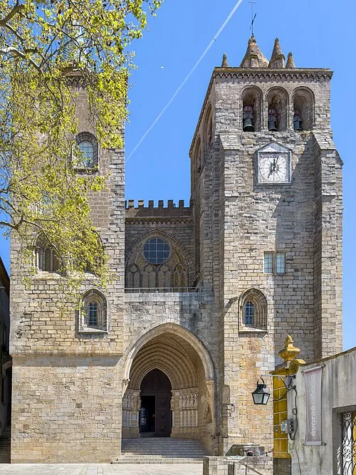 Cathedral of Évora Attraction, União das freguesias de Évora (São Mamede, Sé, São Pedro e Santo Antão)22 km S
-
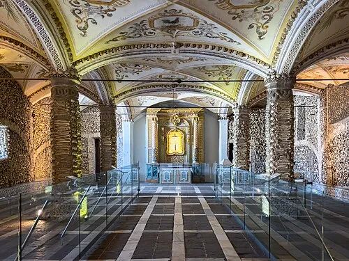 Capela dos Ossos Attraction, União das freguesias de Évora (São Mamede, Sé, São Pedro e Santo Antão)22 km S
Sources & licences
Data last updated: · 2 independent sources