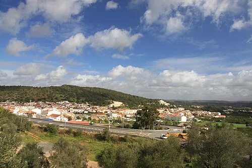
Alcantarilha
Located in Silves Municipality, Faro District Coordinates: 37°09′37″ N 8°21′19″ W
- Population
- 2,540
- 2.5K
- Elevation
- 20 m
- above sea level
- Local time
- UTC+00:00
- Europe/Lisbon · UTC+00:00
- Places inside
- 1
- listed under Alcantarilha
About Alcantarilha
Alcantarilha is a municipality. Location: Silves Municipality, Faro District. Population: 2,540. Elevation: 20 m.
In comparison
- No. 6 of 8 places in Silves Municipality by population
- Nearest larger town: Alcantarilha, 3 km S
- 2 sights and natural places within 10 km Fort of Nossa Senhora da Rocha, Praia da Marinha
Airports nearest to Alcantarilha
- Portimão Airport (PRM) Portimão 20 km
- Faro - Gago Coutinho International Airport (FAO) Faro 38 km
- Lisbon Humberto Delgado Airport (LIS) Lisbon 193 km
Straight-line distance; airports with scheduled flights only. Source: OurAirports (public domain).
Places in Alcantarilha
1 place-
Alcantarilha Village5K
Nearby attractions & nature
Everything nearby-
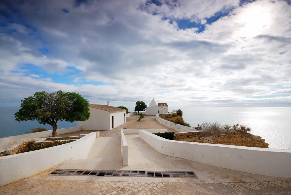 Fort of Nossa Senhora da Rocha Historic site, Faro District7.6 km S
-
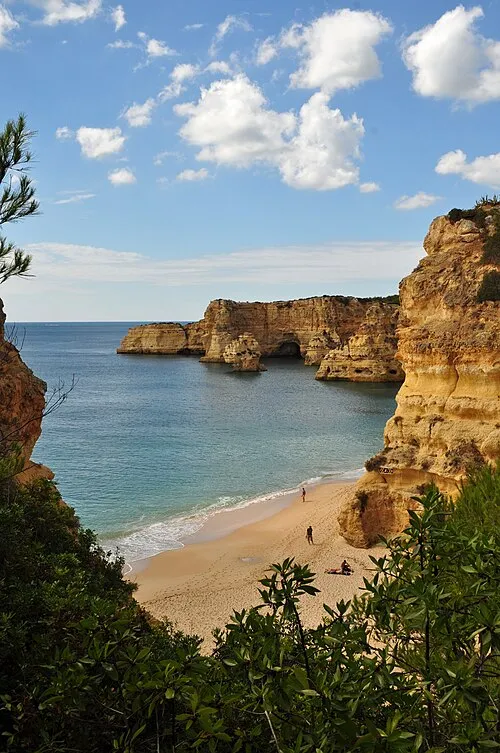 Praia da Marinha Beach, União das freguesias de Lagoa e Carvoeiro9.3 km SW
-
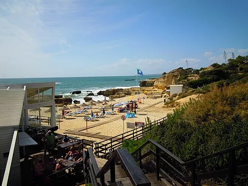 Praia do Evaristo Beach, Albufeira e Olhos de Água11 km SE
-
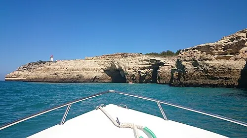 Cabo Carvoeiro Natural site, União das freguesias de Lagoa e Carvoeiro11 km SW
-
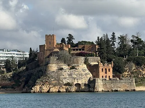 Fort of São João do Arade Historic site, Ferragudo16 km W
-
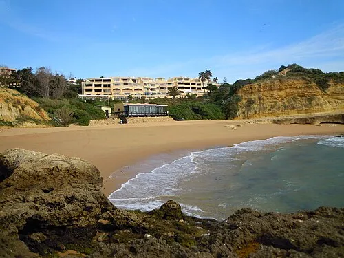 Praia dos Aveiros Beach, Albufeira e Olhos de Água14 km SE
-
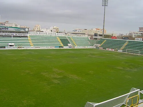 Estádio Municipal de Portimão Landmark, Portimão17 km W
-
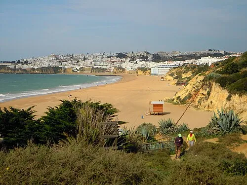 Praia dos Alemães Beach, Faro District13 km SE
Other cities and towns in Silves Municipality
-
Tunes Municipality, Silves Municipality8.5 km E
-
Silves Municipality, Silves Municipality10 km NW
-
Armação de Pêra Town, Armação de Pêra6.4 km S
-
São Bartolomeu de Messines Municipality, Silves Municipality15 km NE
-
Tunes Town, Tunes8.5 km E
-
 São Bartolomeu de Messines Town, São Bartolomeu de Messines12 km NE
Sources & licences
Data last updated: