Carnide
Located in Lisbon Municipality, Lisbon District Coordinates: 38°46′00″ N 9°11′08″ W
- Population
- 18,028
- 18K
- Elevation
- 97 m
- above sea level
- Local time
- UTC+00:00
- Europe/Lisbon · UTC+00:00
- Places inside
- 1
- listed under Carnide
About Carnide
Carnide is a municipality. Location: Lisbon Municipality, Lisbon District. Population: 18,028. Elevation: 97 m.
Carnide (Portuguese pronunciation: [kɐɾˈniðɨ]) is a freguesia (civil parish) and typical quarter of Lisbon, the capital city of Portugal. Located in northern Lisbon, Carnide is north of São Domingos de Benfica and Benfica, east of Lumiar, and directly south of Lisbon's border with Odivelas. The population in 2021 was 18,028.
Read more on Wikipedia Text: Wikipedia contributors · CC BY-SA 4.0 · shortened
At a glance
- Area
- 3.7 km²
Source: Wikidata
In comparison
- No. 16 of 25 places in Lisbon Municipality by population
- Nearest larger town: Pontinha, 1 km W
- 22 sights and natural places within 10 km Estádio José Alvalade, Estádio Universitário de Lisboa
Places in Carnide
1 place-
Carnide Town18K
Nearby attractions & nature
Everything nearby-
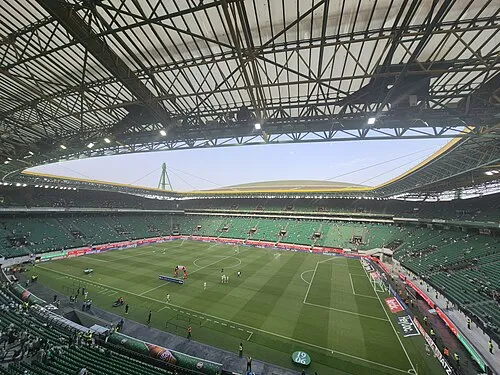 Estádio José Alvalade Landmark, Lumiar2.2 km E
-
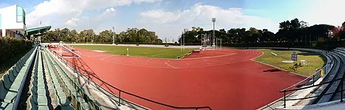 Estádio Universitário de Lisboa Landmark, Alvalade2.6 km SE
-
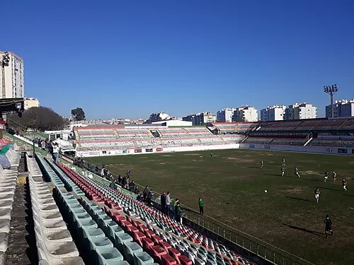 Estádio José Gomes Landmark, Venteira4 km SW
-
Monsanto Mountain, Benfica3.6 km S
-
Cabeço do Bispo Mountain, União das freguesias de Pontinha e Famões5 km NW
-
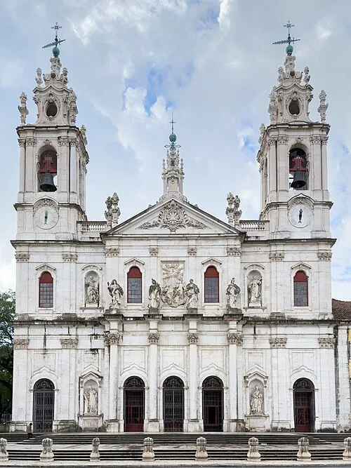 Estrela Basilica Attraction, Estrela6.3 km S
-
 Queluz National Palace Historic site, Queluz6.6 km W
-
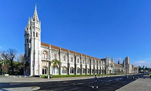 Hieronymites Monastery Attraction, Belém7.8 km S
Sources & licences
Data last updated: · 2 independent sources