Vimeiro
Located in Lourinhã Municipality, Lisbon District Coordinates: 39°11′28″ N 9°18′00″ W
- Population
- 1,565
- 1.6K
- Elevation
- 31 m
- above sea level
- Local time
- UTC+00:00
- Europe/Lisbon · UTC+00:00
- Places inside
- 1
- listed under Vimeiro
About Vimeiro
Vimeiro is a municipality. Location: Lourinhã Municipality, Lisbon District. Population: 1,565. Elevation: 31 m.
Vimeiro (Portuguese pronunciation: [viˈmɐjɾu]) is a freguesia (civil parish) in the municipality of Lourinhã in west-central Portugal. It is in the District of Lisboa. The population in 2011 was 1,470, in an area of 7.08 km². Vimeiro was the site of the 1808 Battle of Vimeiro, where British forces under the Duke of Wellington defeated the French, ending the first French invasion of Portugal. A monument was dedicated in Vimeiro on August 21, 1908, the 100th anniversary of the battle, by Manuel II of Portugal.
Read more on Wikipedia Text: Wikipedia contributors · CC BY-SA 4.0 · shortened
At a glance
- Area
- 7.1 km²
Source: Wikidata
In comparison
- No. 7 of 9 places in Lourinhã Municipality by population
- Nearest larger town: Santa Bárbara, 1 km NW
- 7 sights and natural places within 10 km Cabeça Gorda, Valongo
Places in Vimeiro
1 place-
Vimeiro Village1.5K
Nearby attractions & nature
Everything nearby-
Cabeça Gorda Mountain, União das freguesias de Miragaia e Marteleira3.1 km E
-
Valongo Mountain, Maceira4.5 km SW
-
Alto dos Campelos Mountain, União das freguesias de Campelos e Outeiro da Cabeça5.8 km E
-
Cabeça Ruiva Mountain, A Dos Cunhados6.9 km S
-
Bombarda Mountain, Santa Maria, São Pedro e Matacães7.1 km S
-
Outeiro da Lapa Mountain, Ramalhal7.1 km SE
-
Outeiro do Olival Mountain, Ramalhal7.2 km E
-
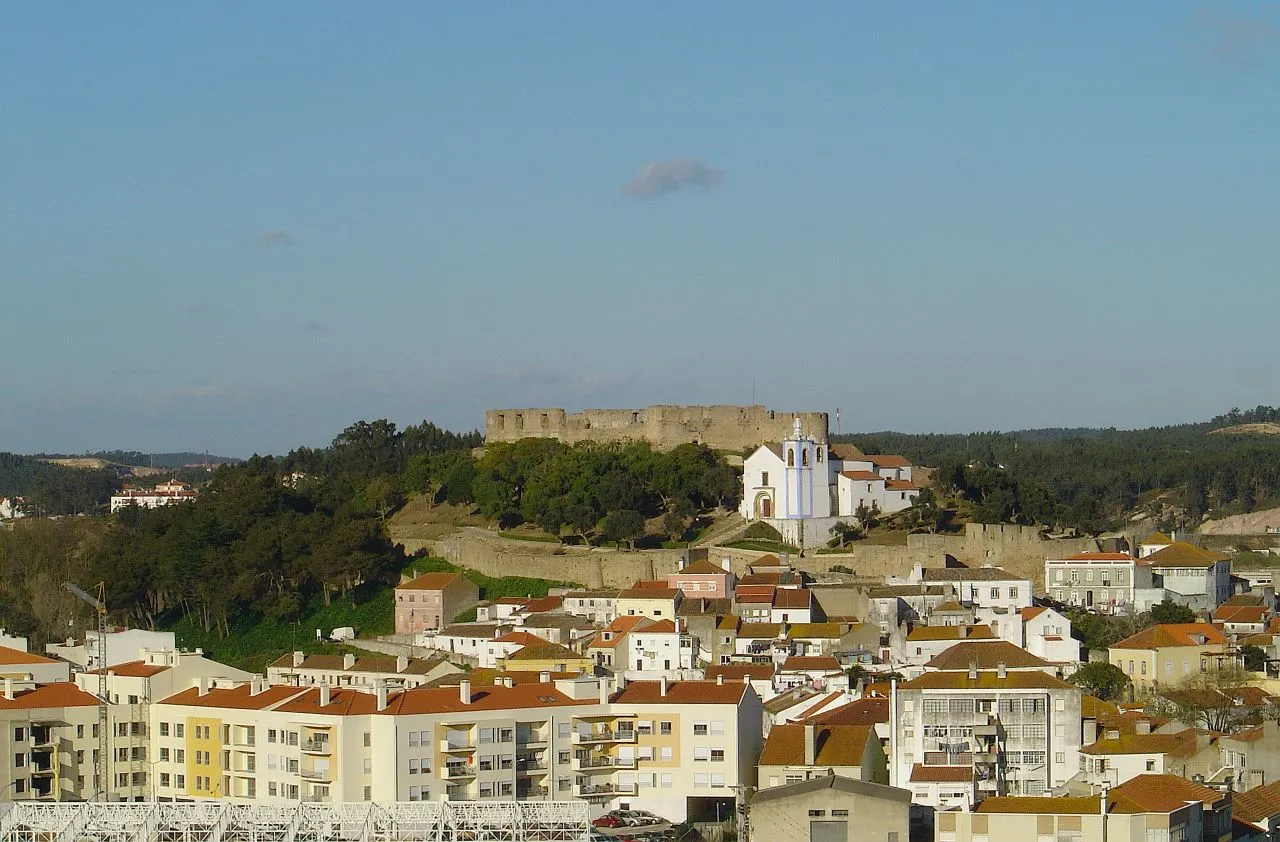 Castelo de Torres Vedras Historic site, Santa Maria, São Pedro e Matacães11 km S
Sources & licences
Data last updated: · 2 independent sources