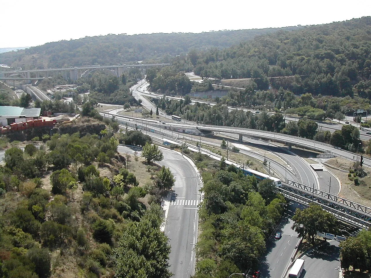
Vale de Alcântara
Located in Lisbon District, Portugal Coordinates: 38°42′00″ N 9°10′00″ W
- Elevation
- 5 m
- above sea level
- Local time
- UTC+00:00
- Europe/Lisbon · UTC+00:00
About Vale de Alcântara
Vale de Alcântara is a natural site. Location: Lisbon District, Portugal.
In comparison
- 17 sights and natural places within 10 km 25th April bridge, Estrela Basilica
Nearest towns and villages
-
Estrela Municipality, Lisbon Municipality0.5 km NE
-
Alcântara Neighbourhood, Estrela0.4 km W
-
Prazeres Neighbourhood, Estrela0.9 km N
-
Campo de Ourique Municipality, Lisbon Municipality2.1 km N
-
Santos-o-Velho Neighbourhood, Estrela1.2 km NE
-
Misericórdia Municipality, Lisbon Municipality1.8 km E
Nearby attractions & nature
Everything nearby-
 25th April bridge Landmark, Lisbon District1.5 km SW
-
 Estrela Basilica Attraction, Estrela1.6 km N
-
Monsanto Mountain, Benfica4.3 km NW
-
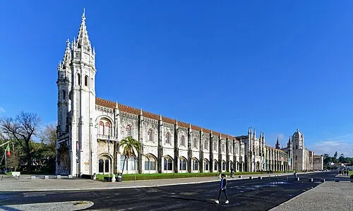 Hieronymites Monastery Attraction, Belém3.5 km W
-
 Monument to the Discoveries Landmark, Belém3.5 km W
-
 Santo António Church Attraction, Santa Maria Maior3.1 km E
-
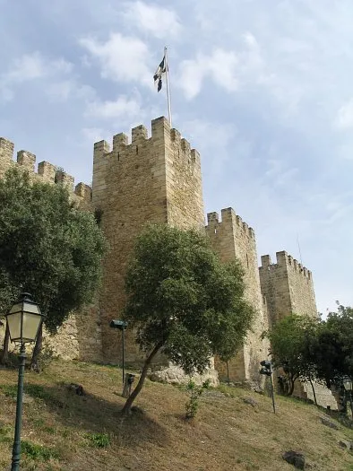 Castle of São Jorge Historic site, Santa Maria Maior3.3 km NE
-
Mama Sul Mountain, Carnaxide e Queijas6.1 km NW
Sources & licences
Data last updated: · 2 independent sources