Santana Municipality
Located in Madeira, Portugal Coordinates: 32°47′48″ N 16°54′16″ W
- Population
- 7,719
- 7.7K
- Elevation
- 548 m
- above sea level
- Local time
- UTC+00:00
- Atlantic/Madeira · UTC+00:00
- Places inside
- 6
- listed under Santana Municipality
About Santana Municipality
Santana Municipality is a district. Location: Madeira, Portugal. Population: 7,719.
Santana (Portuguese pronunciation: [sɐ̃ˈtɐnɐ] ), short form for Santa Ana (meaning Saint Anne) is a municipality along the northern coast of the island of Madeira, in the Portuguese archipelago of the same name. The population in 2011 was 7,719, in an area of 95.56 square kilometres (36.90 mi2).
Read more on Wikipedia Text: Wikipedia contributors · CC BY-SA 4.0 · shortened
At a glance
- Area
- 95.5 km²
Source: Wikidata
In comparison
- 4 sights and natural places within 10 km Pico do Canário, Pico Ruivo
- Listed here: Municipality: 6
Places in Santana Municipality
6 places-
Santana Municipality3.3K
-
Faial Municipality1.6K
-
São Jorge Municipality1.5K
-
São Roque do Faial Municipality736
-
Arco de São Jorge Municipality413
-
Ilha Municipality255
Nature and heritage in Santana Municipality
-
Pico Ruivo Mountain, Faial
-
Pico do Canário Mountain, São Jorge
Nearby attractions & nature
Everything nearby-
Pico das Torrinhas Mountain, Curral das Freiras7.8 km SW
-
Pico do Cedro Mountain, Santo António9.8 km SW
-
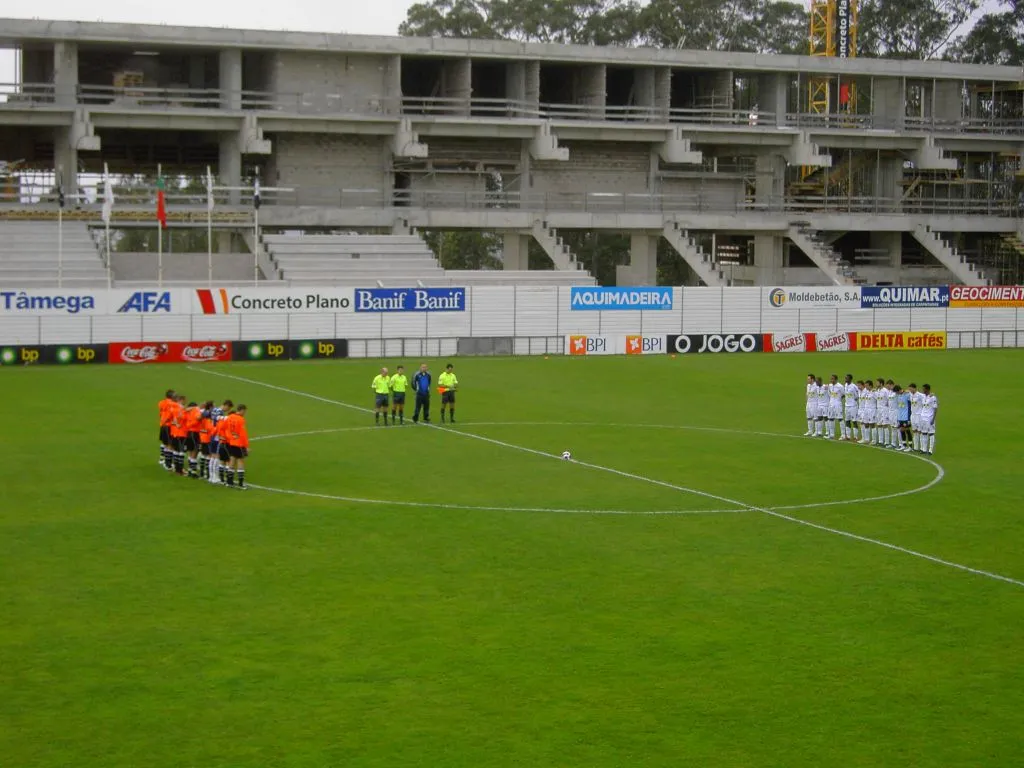 Estádio da Madeira Landmark, Funchal (Santa Maria Maior)14 km S
-
Pico João do Prado Mountain, Camacha11 km S
-
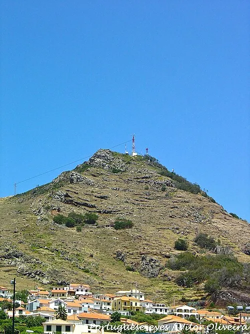 Pico do Facho Mountain, Madeira17 km SE
-
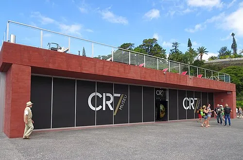 CR7 Museum Museum, Funchal (Sé)17 km S
Sources & licences
Data last updated: · 2 independent sources