Matosinhos
Located in Porto District, Portugal Coordinates: 41°12′28″ N 8°40′03″ W
- Population
- 175,478
- 175.5K
- Elevation
- 49 m
- above sea level
- Local time
- UTC+00:00
- Europe/Lisbon · UTC+00:00
- Places inside
- 10
- listed under Matosinhos
About Matosinhos
Matosinhos is a district. Location: Porto District, Portugal. Population: 175,478.
Matosinhos, officially the City of Matosinhos, is a city and a municipality in the district of Porto in Portugal. The municipality covers an area of approximately 62.42 square kilometres (24.10 mi2) and had 172,557 inhabitants in 2021. It is bordered by the municipalities of Porto to the south, Maia to the east and Vila do Conde to the north and the Atlantic Ocean lies to its west. It is a part of the Porto metropolitan area, the second largest urban area in Portugal.
Read more on Wikipedia Text: Wikipedia contributors · CC BY-SA 4.0 · shortened
At a glance
- Area
- 62.4 km²
Source: Wikidata
In comparison
- 7 sights and natural places within 10 km Estádio do Mar, Mosteiro de Leça do Balio
- Listed here: Municipality: 10
Places in Matosinhos
10 places-
Matosinhos Municipality31K
-
Senhora da Hora Municipality27.7K
-
São Mamede de Infesta Municipality23.1K
-
Custóias Municipality18.6K
-
Leça da Palmeira Municipality18.5K
-
Leça do Balio Municipality17.6K
-
Perafita Municipality13.6K
-
Lavra Municipality10K
-
Guifões Municipality9.5K
-
Santa Cruz do Bispo Municipality5.8K
Nature and heritage in Matosinhos
-
Mosteiro de Leça do Balio Attraction, Leça do Balio
-
Estádio do Mar Landmark, Senhora da Hora
Nearby attractions & nature
Everything nearby-
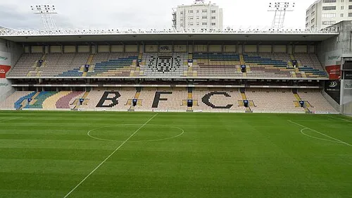 Estádio do Bessa Landmark, Ramalde5.4 km S
-
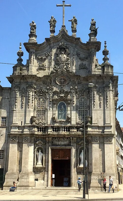 Igreja do Carmo Attraction, União das freguesias de Cedofeita, Santo Ildefonso, Sé, Miragaia, São Nicolau e Vitória7.9 km SE
-
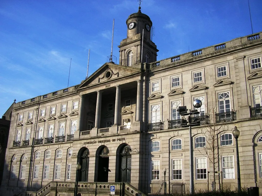 Palácio da Bolsa Historic site, União das freguesias de Cedofeita, Santo Ildefonso, Sé, Miragaia, São Nicolau e Vitória8.5 km SE
-
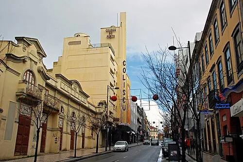 Coliseu do Porto Attraction, União das freguesias de Cedofeita, Santo Ildefonso, Sé, Miragaia, São Nicolau e Vitória8.5 km SE
-
Monte Gentil Mountain, Guilhabreu8.9 km N
-
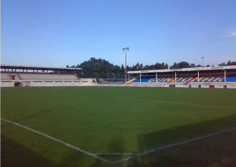 Estádio de São Miguel Landmark, União das freguesias de Gondomar (São Cosme), Valbom e Jovim13 km SE
Sources & licences
Data last updated: · 2 independent sources