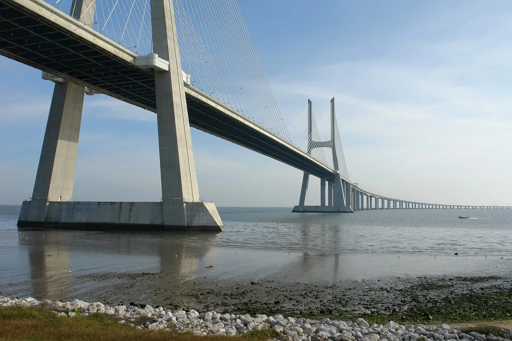
Vasco-da-Gama-bridge
Local name: Ponte Vasco da Gama
Located in Setúbal District, Portugal Coordinates: 38°45′55″ N 9°02′33″ W
- Local time
- UTC+00:00
- Europe/Lisbon · UTC+00:00
About Vasco-da-Gama-bridge
Vasco-da-Gama-bridge is a landmark. Location: Setúbal District, Portugal.
The Vasco da Gama Bridge (Portuguese: Ponte Vasco da Gama) is a cable-stayed bridge flanked by viaducts that spans the Tagus River in Parque das Nações in Lisbon, the capital of Portugal. It is the second longest bridge in Europe, after the Crimean Bridge, and was the longest bridge for a while. It is also the longest bridge in the European Union.
Read more on Wikipedia Text: Wikipedia contributors · CC BY-SA 4.0 · shortened
At a glance
- Built
- 1995
- Opened
- 1998
- Architect
- Michel Virlogeux, Charles Lavigne, Armando Rito
- Heritage designation
- heritage without legal protection
- Height
- 155 m
- Length
- 12 km
Source: Wikidata
In comparison
- 5 sights and natural places within 10 km Vasco da Gama tower, Castelo de Pirescoxe
Nearby attractions & nature
Everything nearby-
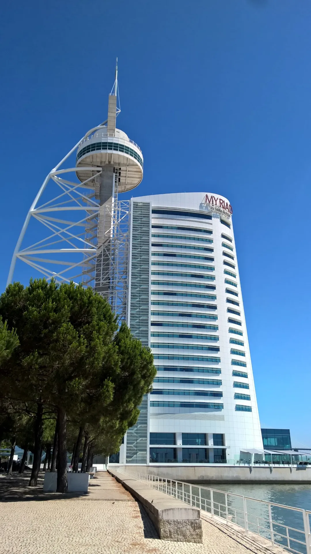 Vasco da Gama tower Landmark, Parque das Nações4.4 km W
-
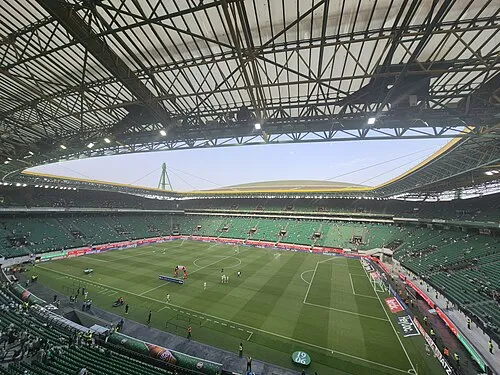 Estádio José Alvalade Landmark, Lumiar10 km W
-
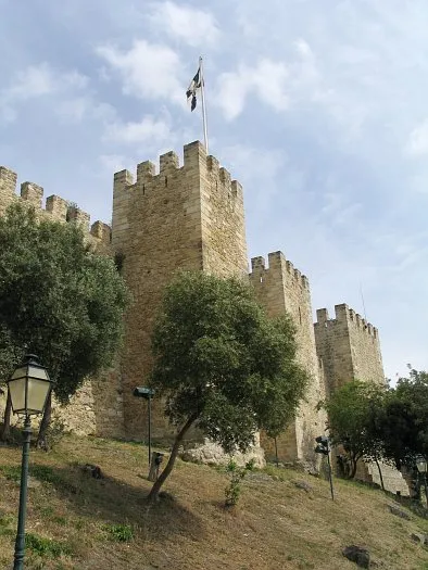 Castle of São Jorge Historic site, Santa Maria Maior9.8 km SW
-
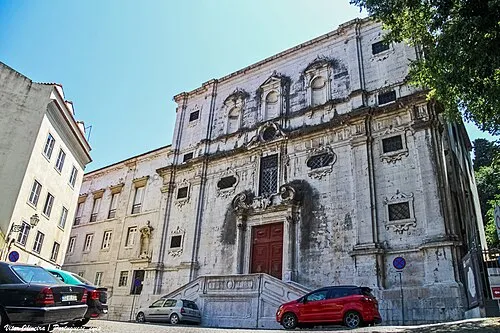 Igreja do Menino Deus Attraction, Santa Maria Maior9.6 km SW
-
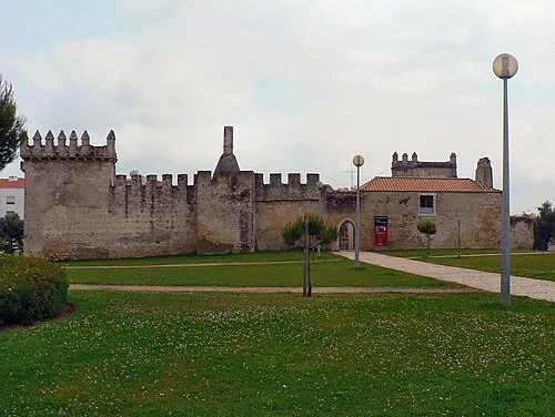 Castelo de Pirescoxe Historic site, União das freguesias de Santa Iria de Azoia, São João da Talha e Bobadela9 km NW
-
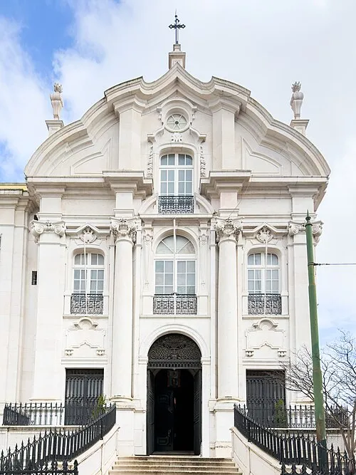 Santo António Church Attraction, Santa Maria Maior10 km SW
-
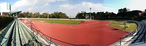 Estádio Universitário de Lisboa Landmark, Alvalade10 km W
-
Teatro Taborda Attraction, Santa Maria Maior9.6 km SW
Nearest towns and villages
-
Parque das Nações Municipality, Lisbon Municipality4.7 km W
-
Parque das Nações Town, Parque das Nações4.7 km W
-
Samouco Municipality, Alcochete Municipality4 km SE
-
Moscavide e Portela Town, União das freguesias de Moscavide e Portela5.4 km W
More sights in Setúbal District
-
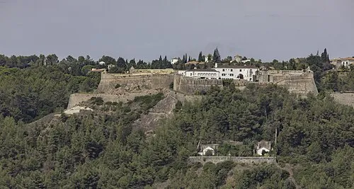 Castle of São Filipe Historic site, União das freguesias de Setúbal (São Julião, Nossa Senhora da Anunciada e Santa Maria da Graça)30 km SE
-
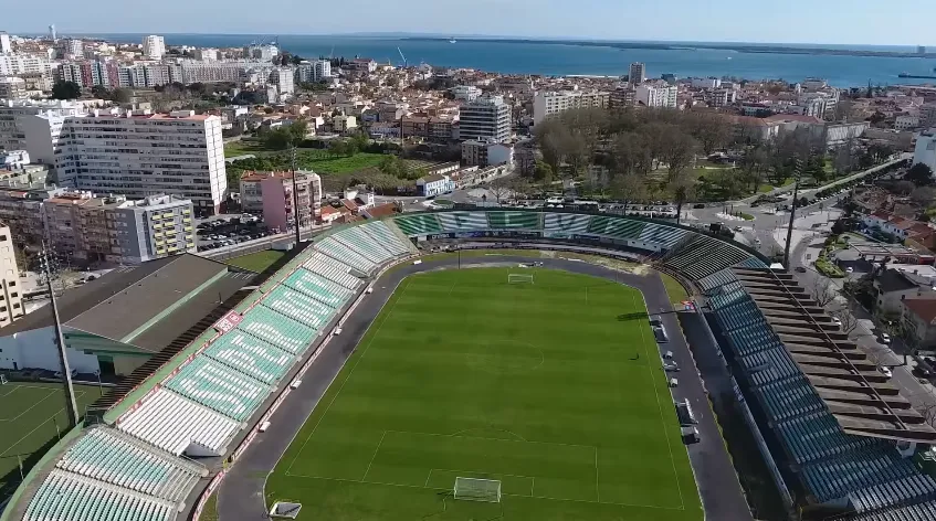 Estádio do Bonfim Landmark, União das freguesias de Setúbal (São Julião, Nossa Senhora da Anunciada e Santa Maria da Graça)29 km SE
-
 House of Luisa Todi Historic site, União das freguesias de Setúbal (São Julião, Nossa Senhora da Anunciada e Santa Maria da Graça)29 km SE
-
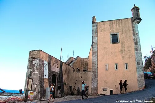 Forte de Santa Maria da Arrábida Historic site, União das freguesias de Azeitão (São Lourenço e São Simão)33 km S
-
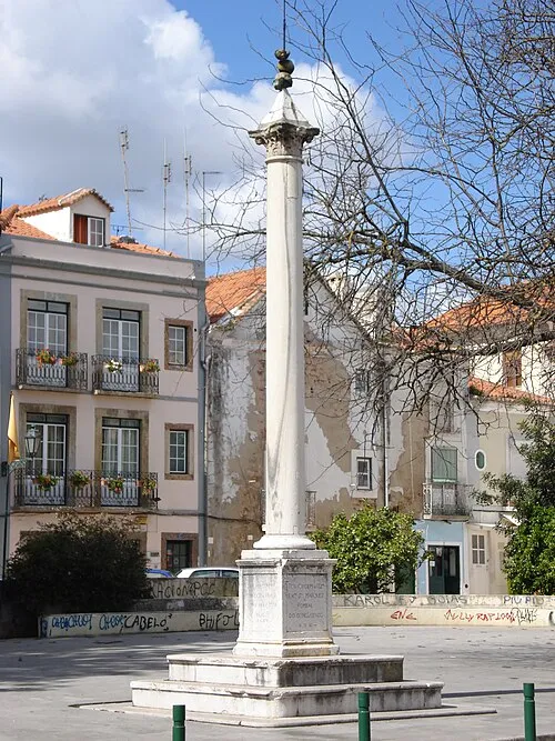 Setubal Pillory Landmark, União das freguesias de Setúbal (São Julião, Nossa Senhora da Anunciada e Santa Maria da Graça)30 km SE
-
 Recolhimento de Nossa Senhora da Soledade Historic site, União das freguesias de Setúbal (São Julião, Nossa Senhora da Anunciada e Santa Maria da Graça)30 km SE
Sources & licences
Data last updated: · 2 independent sources