- Population
- 9,977
- 10K
- Elevation
- 1,502 m
- above sea level
- Local time
- UTC+03:00
- Europe/Istanbul · UTC+03:00
- Places inside
- 40
- listed under Akyaka İlçesi
- Airports
- LWN Shirak International Airport21 km
- KSY Kars Airport47 km
About Akyaka İlçesi
Akyaka İlçesi is a district. Location: Kars Province, Turkey. Population: 9,977. The best months to visit are June, September. The nearest airport is Shirak International Airport (21 km). Nearby sights include Dalayer Deresi and Kula Deresi.
Climate of Akyaka İlçesi
Best months for sightseeingBest months for sightseeing: June, September.
This month · November
A cold month
Day 8° · Night -3° · Rain 25 mm
Better nearby cities in November
- Cizre · 399 km south20°
- Hottest month
- August (day 28°)
- Coldest month
- January (night -13°)
- Wettest month
- May (79 mm)
- Driest month
- January (17 mm)
Bars: average monthly low and high temperature. Below: precipitation. Monthly averages for 1970–2000 at about 18 km resolution, adjusted for elevation. Highlighted months are mild and relatively dry. Source: WorldClim 2.1 (CC BY 4.0).
Show values as a table
| Month | Jan | Feb | Mar | Apr | May | Jun | Jul | Aug | Sep | Oct | Nov | Dec |
|---|---|---|---|---|---|---|---|---|---|---|---|---|
| Average high (°C) | -3° | -1° | 5° | 14° | 18° | 23° | 27° | 28° | 24° | 16° | 8° | 0° |
| Average low (°C) | -13° | -12° | -6° | 1° | 6° | 9° | 13° | 12° | 8° | 2° | -3° | -9° |
| Precipitation (mm) | 17 | 23 | 25 | 48 | 79 | 69 | 43 | 34 | 26 | 33 | 25 | 19 |
How to get to Akyaka İlçesi
The nearest airport is Shirak International Airport (LWN), 21 km to the east as the crow flies. The nearest large city is Iğdır, 98 km to the south.
Airports
- Shirak International Airport (LWN) Gyumri 21 kmeast
- Kars Airport (KSY) Kars 47 kmsouthwest
- Iğdır Airport (IGD) Iğdır 88 kmsouth
Nearby large cities
- Iğdır Population: 101.7K 98 kmsouth
- Ağrı Population: 124.5K 124 kmsouthwest
- Rustavi Population: 128.2K 146 kmnortheast
- Tbilisi Population: 1M 147 kmnortheast
- Kutaisi Population: 135.2K 186 kmnorthwest
Straight-line distances; road distances are longer. Airport data: OurAirports.
Day trips from Akyaka İlçesi
Within 100 km: 63 historic and cultural sites, 150 natural sites, 168 lakes, rivers and coasts.
0–25 km46 places
- Mişk Gölü Lake 25 kmW
- Lake Kuyucuk Lake 14 kmW
- Cili Gölü Lake 22 kmNW
- Kurtlugöl Tepesi Mountain 19 kmN
25–60 km139 places
- Ani Historic site 26 kmS
- Tba Mada Lake 50 kmN
- Büyük Ada Island 46 kmNW
- Rus Adası Island 46 kmNW
60–100 km196 places
- Mta Shavnabada Mountain 98 kmN
- Didi Abuli Mountain 77 kmN
- Baraleti Church of the Theotokos Attraction 89 kmN
- Kumurdo Cathedral Attraction 76 kmN
Straight-line distances.
Places in Akyaka İlçesi
40 places- 1 Akyaka 2K
- 2 Demirkent 933
- 3 Tepe Mahallesi 774
- 4 İstasyon Mahallesi 682
- 5 Esenyayla 629
- 6 Topkaya Mahallesi 583
- 7 Karahan 560
- 8 Boyuntaş 537
- 9 Yerlikavak 400
- 10 Şahnalar 390
- 11 Üçpınar 361
- 12 Duraklı 354
- 13 Geçitköy 319
- 14 Kayaköprü 311
- 15 Büyükduran 305
- 16 Kürekdere 291
- 17 Büyükpirveli 278
- 18 Sulakbahçe 247
- 19 Cebeci 233
- 20 Kalkankale 213
- 21 İncedere 165
- 22 Çetindurak 133
- 23 Hacıpiri 111
- 24 İbişkōy 97
- 25 Süngüderesi 90
- 26 Küçükdurduran 79
- 27 Çamuşlu 75
- 28 Akbulak 73
- 29 Kayadöven 65
- 30 Aslanhane 49
- 31 Küçük Aküzüm 45
Bar: population relative to the most populous place in this list.
Cities & villages3
- Aşağıküzüm · Village
- Büyükaküzüm · Village
- Mehmetcik · Village
Mountains & nature5
- Çal Tepe · Mountain
- Karakuzu Tepesi · Mountain
- Kelez Tepesi · Mountain
- Üçpınar Deresi · Mountain
- Ziyaret Tepesi · Mountain
Lakes, rivers & coasts1
- Karahan Çayı · River
Nearby attractions & nature
Everything nearby-
Dalayer Deresi River, Kars Province5.3 km SE
-
Kula Deresi River, Kars Province6.8 km E
-
Yanık Tepesi Mountain, Kars6.3 km S
-
Karayal Tepesi Mountain, Kars10 km SW
-
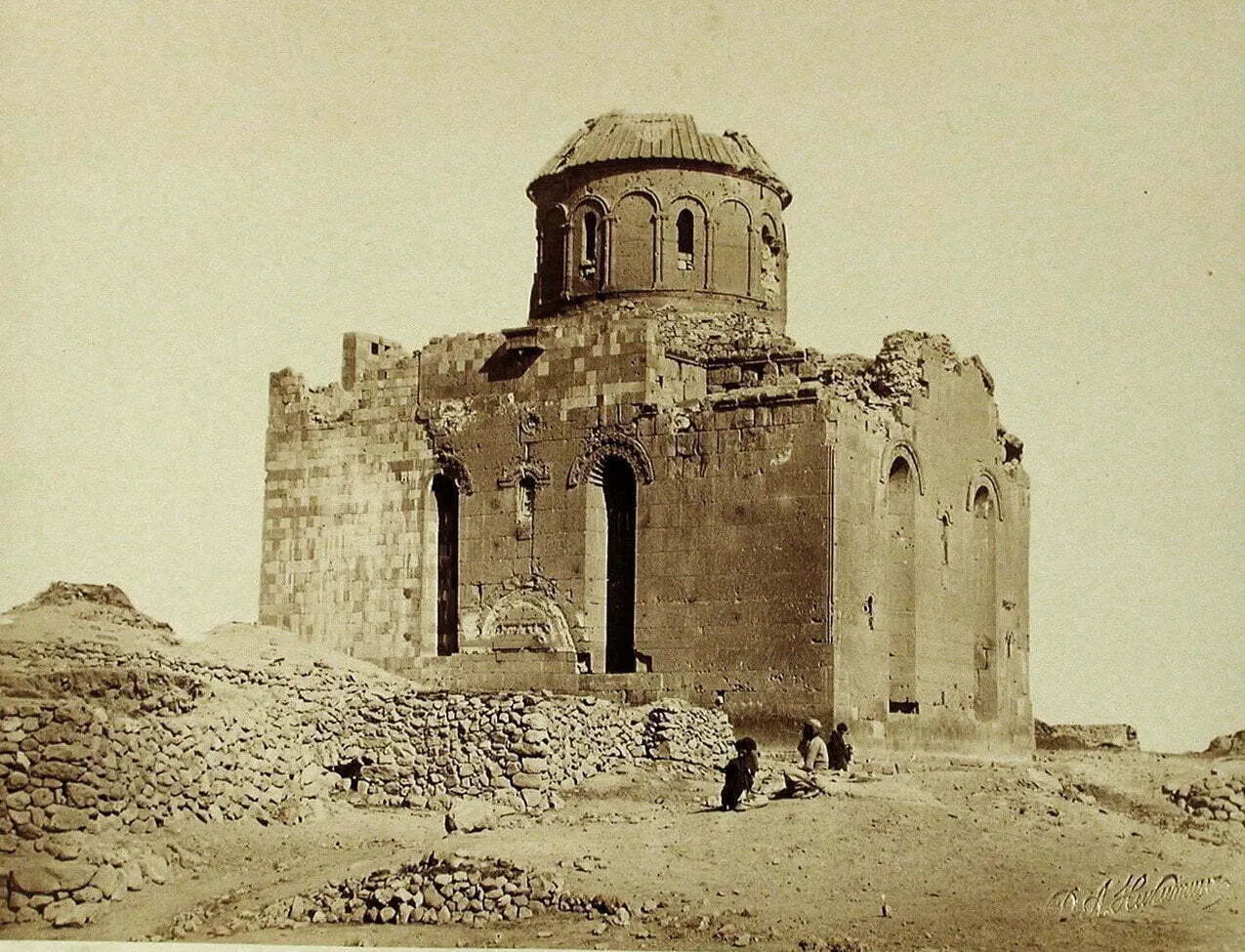 Oguzlu Church Historic site, Kars11 km SW
-
Kars Çayı River, Kars Province10 km SE
Sources & licences
Data last updated: