Viranşehir Bucağı
Located in Şanlıurfa Province, Turkey Coordinates: 37°13′25″ N 39°45′19″ E
- Elevation
- 551 m
- above sea level
- Local time
- UTC+03:00
- Europe/Istanbul · UTC+03:00
- Airports
- MQM Mardin Airport78 km
- GNY Şanlıurfa GAP Airport80 km
About Viranşehir Bucağı
Viranşehir Bucağı is a municipality. Location: Şanlıurfa Province, Turkey. Elevation: 551 m. The best months to visit are April, October–November. The nearest airport is Mardin Airport (78 km). Nearby sights include Topraksu Sulama Göleti and Çirçip Deresi.
Climate of Viranşehir Bucağı
Best months for sightseeingBest months for sightseeing: April, October–November.
This month · November
A good month to visit
Day 18° · Night 5° · Rain 45 mm
- Hottest month
- July (day 40°)
- Coldest month
- January (night 0°)
- Wettest month
- December (86 mm)
- Driest month
- July (1 mm)
Bars: average monthly low and high temperature. Below: precipitation. Monthly averages for 1970–2000 at about 18 km resolution, adjusted for elevation. Highlighted months are mild and relatively dry. Source: WorldClim 2.1 (CC BY 4.0).
Show values as a table
| Month | Jan | Feb | Mar | Apr | May | Jun | Jul | Aug | Sep | Oct | Nov | Dec |
|---|---|---|---|---|---|---|---|---|---|---|---|---|
| Average high (°C) | 10° | 12° | 16° | 22° | 29° | 35° | 40° | 39° | 35° | 27° | 18° | 12° |
| Average low (°C) | 0° | 1° | 4° | 9° | 13° | 19° | 22° | 22° | 17° | 12° | 5° | 2° |
| Precipitation (mm) | 83 | 73 | 76 | 59 | 36 | 6 | 1 | 2 | 2 | 25 | 45 | 86 |
Other places to visit in this season: April October November
How to get to Viranşehir Bucağı
The nearest airport is Mardin Airport (MQM), 78 km to the east as the crow flies. For international flights: Şanlıurfa GAP Airport (GNY) (80 km). The nearest large city is Viranşehir, 1 km to the north.
Airports
- Mardin Airport (MQM) Mardin 78 kmeast
- Şanlıurfa GAP Airport (GNY) Şanlıurfa 80 kmwest
- Diyarbakır Airport (DIY) Diyarbakır 84 kmnortheast
Nearby large cities
- Viranşehir Population: 154.2K 1 kmnorth
- Siverek Population: 175.3K 71 kmnorthwest
- Kızıltepe Population: 150.2K 73 kmeast
- Sanliurfa Population: 449.5K 86 kmwest
- Diyarbakır Population: 1.8M 87 kmnortheast
Straight-line distances; road distances are longer. Airport data: OurAirports.
Day trips from Viranşehir Bucağı
Within 100 km: 60 historic and cultural sites, 231 natural sites, 126 lakes, rivers and coasts.
0–25 km12 places
- Topraksu Sulama Göleti Lake 7 kmN
- Kartal Tepesi Mountain 20 kmSE
- Sırakoç Tepesi Mountain 19 kmW
- Küçük Pınar Natural site 23 kmNE
25–60 km106 places
- Dumluca Baraj Göleti Lake 40 kmNE
- Künreş Sulama Göleti Lake 47 kmNE
- Şerefli Sulama Göleti Lake 43 kmNE
- Ortaören Sulama Göleti Lake 54 kmNE
60–100 km299 places
- Devegeçidi Barajı Lake 95 kmN
- Gözegölü Sulama Göleti Lake 87 kmN
- Göksu Barajı Lake 79 kmNE
- Beşpınar Göleti Lake 80 kmNE
Straight-line distances.
Nearby attractions & nature
Everything nearby-
Topraksu Sulama Göleti Lake, Şanlıurfa Province6.9 km N
-
Çirçip Deresi River, Şanlıurfa Province12 km SW
-
Kargalı Dere River, Şanlıurfa Province11 km N
-
Altınbaşak Deresi River, Şanlıurfa Province11 km NE
-
Karahisar Çayı River, Şanlıurfa Province14 km W
-
İnişli Dere River, Şanlıurfa Province14 km W
-
Işıklı Dere River, Şanlıurfa Province14 km NE
-
Şeyhnasır Deresi River, Şanlıurfa Province16 km SW
Other cities and towns in Şanlıurfa Province
-
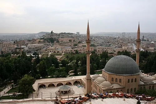 Sanliurfa City, Şanlıurfa Province86 km W
-
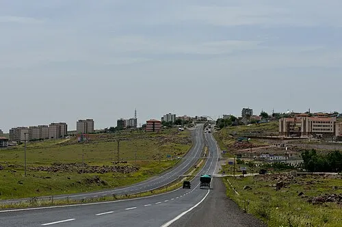 Siverek City, Siverek İlçesi71 km NW
-
Demirci Bucağı Municipality, Şanlıurfa Province22 km N
-
Ceylanpınar City, Ceylanpınar İlçesi49 km SE
-
Demirci City, Viranşehir İlçesi21 km N
-
Karakeçi Bucağı Municipality, Şanlıurfa Province37 km NW
Sources & licences
Data last updated: