- Elevation
- 1,648 m
- above sea level
- Local time
- UTC+03:00
- Europe/Istanbul · UTC+03:00
- Airports
- VAN Van Ferit Melen Airport20 km
- YKO Hakkari Yüksekova Airport129 km
About Uğurveren
Uğurveren is a village. Location: Gevaş İlçesi, Van Province. Elevation: 1,648 m. The best months to visit are June, September. The nearest airport is Van Ferit Melen Airport (20 km). Nearby sights include Köyalu Deresi and Güzelsu Çayı.
Climate of Uğurveren
Best months for sightseeingBest months for sightseeing: June, September.
This month · November
A cold month
Day 10° · Night 1° · Rain 57 mm
Better nearby cities in November
- Silopi · 137 km southwest20°
- Cizre · 142 km southwest20°
- Kızıltepe · 262 km southwest19°
- Hottest month
- July (day 28°)
- Coldest month
- January (night -7°)
- Wettest month
- April (68 mm)
- Driest month
- July (5 mm)
Bars: average monthly low and high temperature. Below: precipitation. Monthly averages for 1970–2000 at about 18 km resolution, adjusted for elevation. Highlighted months are mild and relatively dry. Source: WorldClim 2.1 (CC BY 4.0).
Show values as a table
| Month | Jan | Feb | Mar | Apr | May | Jun | Jul | Aug | Sep | Oct | Nov | Dec |
|---|---|---|---|---|---|---|---|---|---|---|---|---|
| Average high (°C) | 1° | 2° | 5° | 12° | 18° | 24° | 28° | 28° | 24° | 17° | 10° | 4° |
| Average low (°C) | -7° | -6° | -2° | 4° | 9° | 13° | 16° | 16° | 12° | 6° | 1° | -3° |
| Precipitation (mm) | 41 | 46 | 59 | 68 | 56 | 21 | 5 | 5 | 12 | 50 | 57 | 47 |
How to get to Uğurveren
The nearest airport is Van Ferit Melen Airport (VAN), 20 km to the northeast as the crow flies. The nearest large city is Van, 25 km to the northeast.
Airports
- Van Ferit Melen Airport (VAN) Van 20 kmnortheast
- Hakkari Yüksekova Airport (YKO) Hakkari 129 kmsoutheast
- Muş Airport (MSR) Muş 139 kmwest
Nearby large cities
- Van Population: 525K 25 kmnortheast
- Siirt Population: 114K 117 kmsouthwest
- Silopi Population: 114.6K 137 kmsouthwest
- Cizre Population: 134K 142 kmsouthwest
- Ağrı Population: 124.5K 152 kmnorth
Straight-line distances; road distances are longer. Airport data: OurAirports.
Day trips from Uğurveren
Within 100 km: 45 historic and cultural sites, 607 natural sites, 396 lakes, rivers and coasts.
0–25 km53 places
- Akdamar Adası Island 12 kmW
- Kuzu Adası Island 15 kmW
- Avdu Adaları Island 23 kmNW
- Kartal Tepe Mountain 24 kmSE
25–60 km286 places
- Yaylagöz Pınar Natural site 59 kmE
- Lim Island Island 60 kmN
- İçeriçarpanak Adası Island 30 kmN
- Simhaç Adası Island 48 kmW
60–100 km709 places
- Süphan Gölü Lake 92 kmNE
- Lake Nemrut Lake 88 kmW
- Lake Nazik Lake 96 kmNW
- Değirmi Gölü Lake 90 kmE
Straight-line distances.
Nearby attractions & nature
Everything nearby-
Köyalu Deresi River, Van Province1.9 km SW
-
Güzelsu Çayı River, Van Province3.2 km W
-
Kızıl Tepe Mountain, Gevaş İlçesi5.2 km SE
-
Mazın Pınarı Natural site, Van Province5.4 km S
-
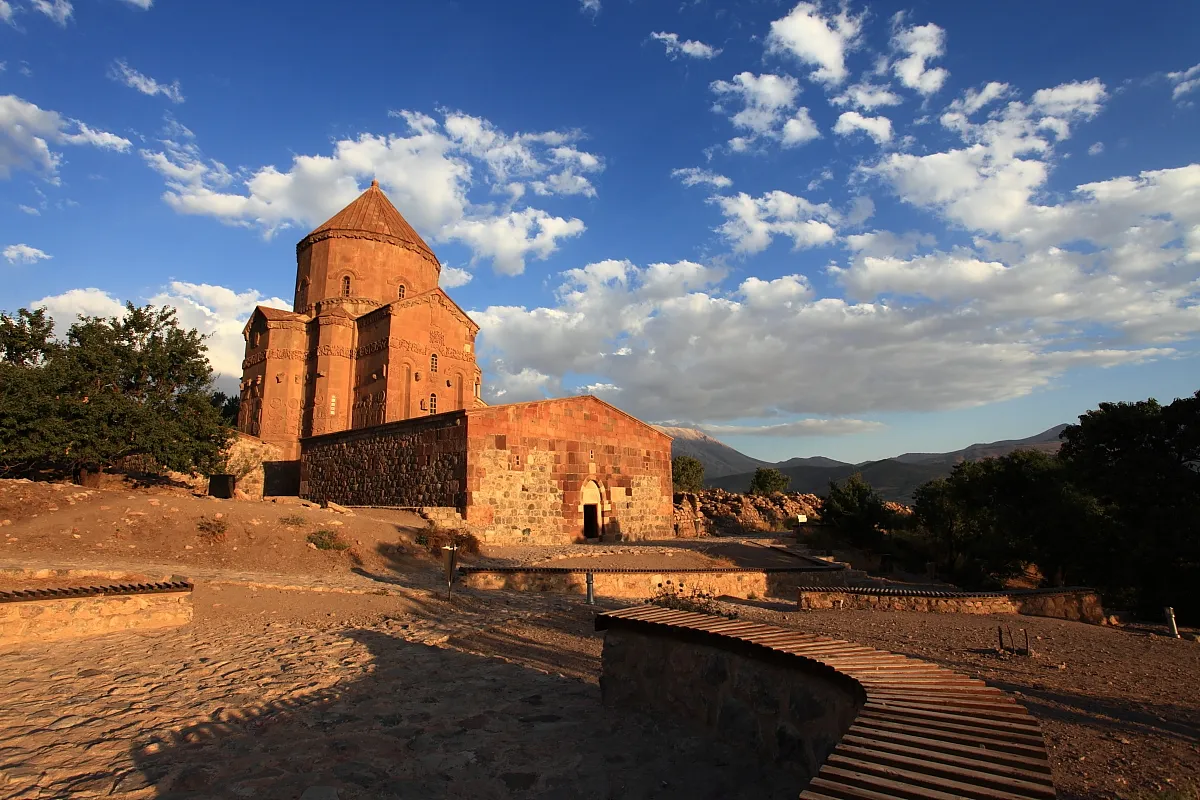 Cathedral of the Holy Cross Attraction, Gevaş İlçesi12 km W
-
Şeref Pınarı Natural site, Van Province7.5 km S
Sources & licences
Data last updated: