Strugureni
Located in Comuna Chiochiş, Bistrița-Năsăud County Coordinates: 46°58′53″ N 24°12′22″ E
- Population
- 269
- 269
- Elevation
- 341 m
- above sea level
- Local time
- UTC+02:00
- Europe/Bucharest · UTC+02:00
About Strugureni
Strugureni is a village. Location: Comuna Chiochiş, Bistrița-Năsăud County. Population: 269. Elevation: 341 m.
In comparison
- No. 7 of 10 places in Comuna Chiochiş by population
- Nearest larger town: Chiochiş, 2 km W
Airports nearest to Strugureni
- Avram Iancu Cluj International Airport (CLJ) Cluj-Napoca 45 km
- Târgu Mureş Transilvania International Airport (TGM) Recea 59 km
- Maramureș International Airport (BAY) Tăuții-Măgherăuș 94 km
Straight-line distance; airports with scheduled flights only. Source: OurAirports (public domain).
Nearby attractions & nature
Everything nearby-
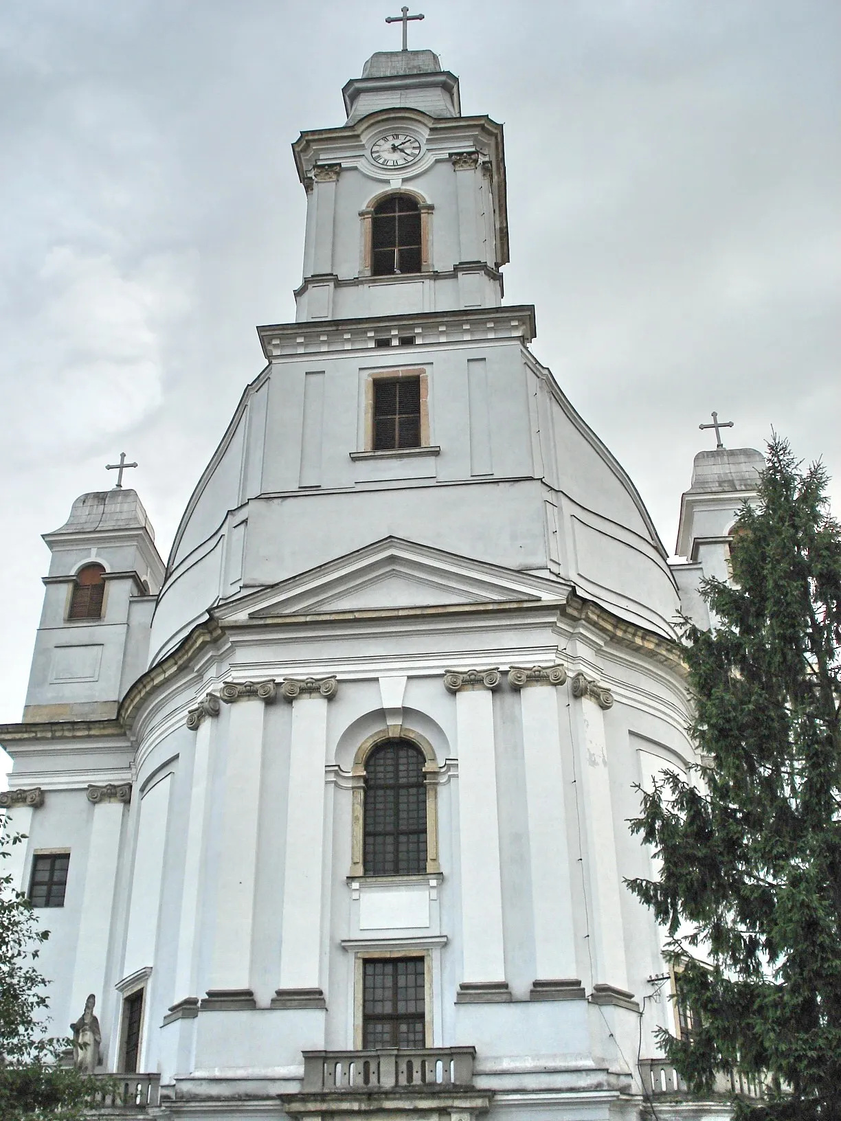 Armenian Cathedral of the Holy Trinity Attraction, Municipiul Gherla23 km W
-
Gherla Ghetto Historic site, Municipiul Gherla23 km W
-
Câmpia Transilvaniei Natural site, Romania19 km SE
Sources & licences
Data last updated: