Drumul Taberei
Located in Sector 6, Municipiul Bucureşti Coordinates: 44°25′18″ N 26°01′46″ E
- Elevation
- 92 m
- above sea level
- Local time
- UTC+02:00
- Europe/Bucharest · UTC+02:00
About Drumul Taberei
Drumul Taberei is a neighbourhood. Location: Sector 6, Municipiul Bucureşti.
Drumul Taberei (Romanian: [ˈdru.mul ˈta.be.rej], The Camp Road) is a neighbourhood located in the south-west of Bucharest, Romania, roughly between Timișoara Avenue (south of Plaza România and the Cotroceni Railway Station) and Ghencea Avenue, neighboring Militari to the north, Panduri to the east and Ghencea, and Rahova to the south and south-east.
Read more on Wikipedia Text: Wikipedia contributors · CC BY-SA 4.0 · shortened
In comparison
- Nearest larger town: Sector 6, 2 km NW
- 3 sights and natural places within 10 km Stavropoleos Monastery, National Theatre Ion Luca Caragiale Bucharest
Nearby attractions & nature
Everything nearby-
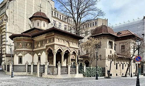 Stavropoleos Monastery Attraction, Sector 35.6 km E
-
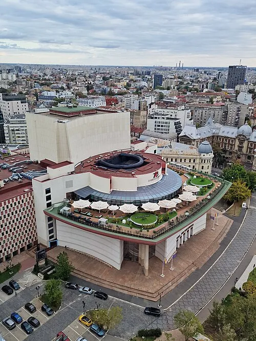 National Theatre Ion Luca Caragiale Bucharest Attraction, Sector 16.1 km E
-
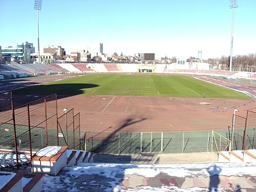 Stadionul Dinamo Landmark, Sector 26.9 km NE
-
Valea Salciei Natural site, Romania19 km SE
-
Valea Colentina Natural site, Romania22 km NW
-
Valea Bălăriei Natural site, Giurgiu County23 km SW
Sources & licences
Data last updated: · 2 independent sources