Sântejude
Located in Comuna Ţaga, Cluj County Coordinates: 46°55′37″ N 23°59′26″ E
- Population
- 227
- 227
- Elevation
- 323 m
- above sea level
- Local time
- UTC+02:00
- Europe/Bucharest · UTC+02:00
About Sântejude
Sântejude is a village. Location: Comuna Ţaga, Cluj County. Population: 227. Elevation: 323 m.
In comparison
- No. 4 of 5 places in Comuna Ţaga by population
- Nearest larger town: Sava, 5 km S
Nearby attractions & nature
Everything nearby-
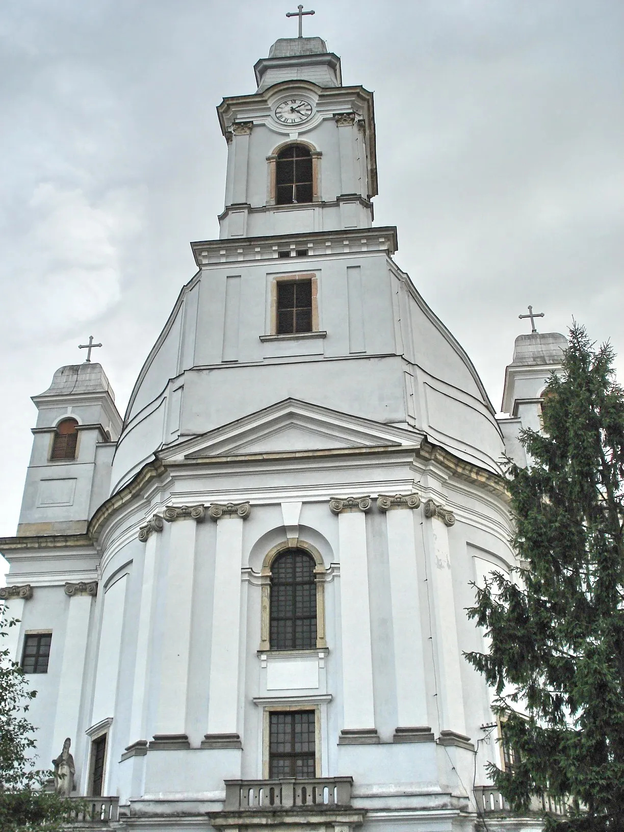 Armenian Cathedral of the Holy Trinity Attraction, Municipiul Gherla13 km NW
-
Gherla Ghetto Historic site, Municipiul Gherla13 km NW
-
Valea Ormanului Natural site, Romania14 km NW
-
Valea Ghiroltului Natural site, Romania18 km NW
Sources & licences
Data last updated: