Dej Ghetto
Located in Municipiul Dej, Cluj County Coordinates: 47°09′00″ N 23°52′00″ E
- Local time
- UTC+02:00
- Europe/Bucharest · UTC+02:00
- Elevation
- 231 m
- above sea level
About Dej Ghetto
Dej Ghetto is a historic site. Location: Municipiul Dej, Cluj County.
The Dej ghetto was one of the Nazi-era ghettos for European Jews during World War II. It was located in the city of Dej (Hungarian: Dés) in Cluj County, Transylvania, now part of Romania but administered as part of Szolnok-Doboka County by the Kingdom of Hungary from the 1940 Second Vienna Award's grant of Northern Transylvania until late 1944. The ghetto was active in the spring of 1944, following Operation Margarethe.
Read more on Wikipedia Text: Wikipedia contributors · CC BY-SA 4.0 · shortened
Nearby attractions & nature
Everything nearby-
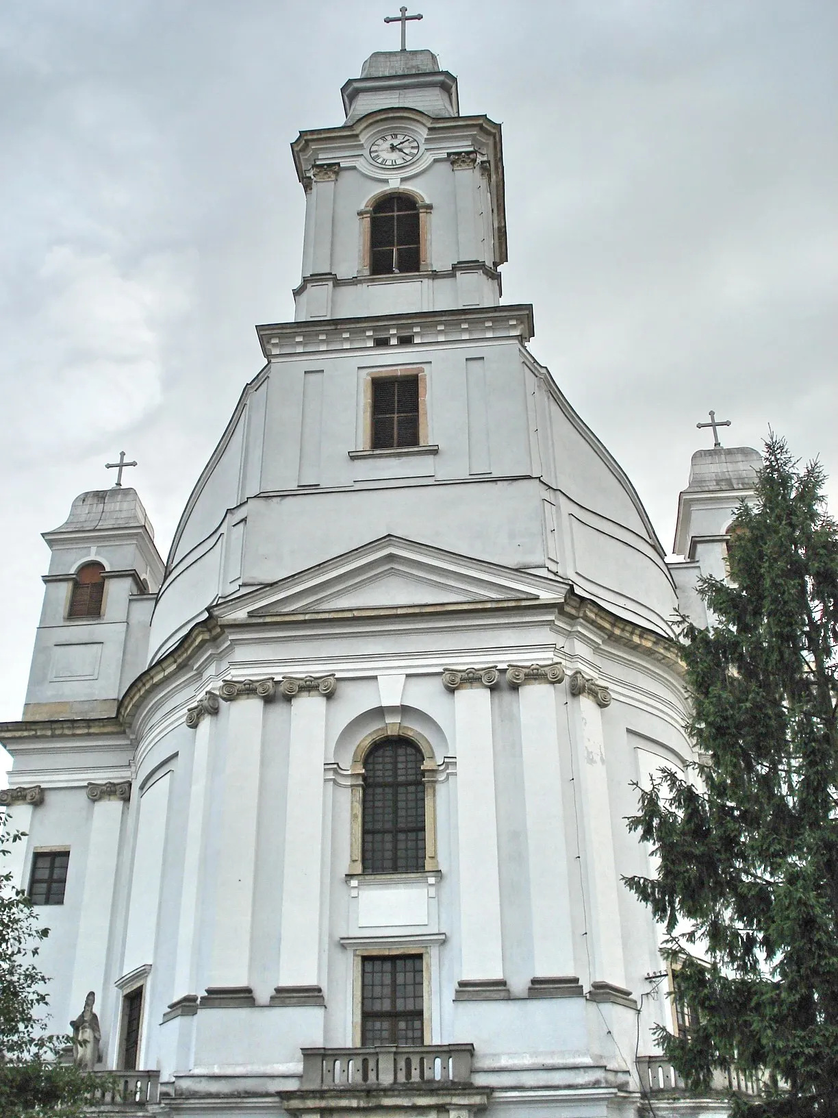 Armenian Cathedral of the Holy Trinity Attraction, Municipiul Gherla14 km S
-
Gherla Ghetto Historic site, Municipiul Gherla14 km S
-
Valea Băbdiu Natural site, Romania11 km W
-
Valea Ormanului Natural site, Romania17 km S
-
Valea Ghiroltului Natural site, Romania18 km S
-
Valea Strâmbului Natural site, Romania17 km N
-
Valea Poenii Natural site, Romania19 km NW
-
Valea Poenii Natural site, Romania23 km NE
Nearest towns and villages
-
Dej City, Municipiul Dej<0.1 km N
-
Ocna Dejului Neighbourhood, Municipiul Dej3.8 km S
-
Urișor Village, Comuna Căşeiu2.3 km N
-
Căşeiu City, Comuna Căşeiu3.7 km N
Sources & licences
Data last updated: · 2 independent sources