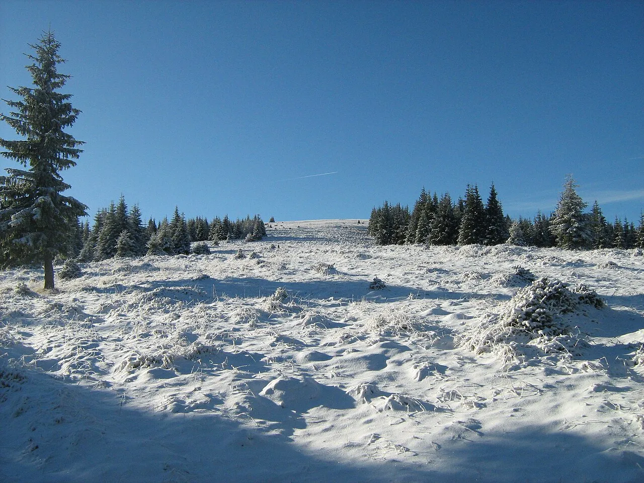
- Elevation
- 1,883 m
- above sea level
- Local time
- UTC+02:00
- Europe/Bucharest · UTC+02:00
- Airports
- SBZ Sibiu International Airport58 km
- CRA Craiova International Airport123 km
About Coricia
Coricia is a mountain. Location: Oraş Petrila, Hunedoara County. Elevation: 1,883 m. The nearest airport is Sibiu International Airport (58 km). Nearby sights include Ciobanul and Pietrii.
Climate of Coricia
This month · November
A cold month
Day -1° · Night -7° · Rain 56 mm
- Hottest month
- July (day 14°)
- Coldest month
- January (night -11°)
- Wettest month
- June (129 mm)
- Driest month
- January (45 mm)
Bars: average monthly low and high temperature. Below: precipitation. Monthly averages for 1970–2000 at about 18 km resolution, adjusted for elevation. Highlighted months are mild and relatively dry. Source: WorldClim 2.1 (CC BY 4.0).
Show values as a table
| Month | Jan | Feb | Mar | Apr | May | Jun | Jul | Aug | Sep | Oct | Nov | Dec |
|---|---|---|---|---|---|---|---|---|---|---|---|---|
| Average high (°C) | -5° | -4° | -1° | 3° | 9° | 12° | 14° | 14° | 10° | 5° | -1° | -4° |
| Average low (°C) | -11° | -11° | -9° | -4° | 0° | 4° | 6° | 6° | 2° | -2° | -7° | -10° |
| Precipitation (mm) | 45 | 49 | 55 | 86 | 107 | 129 | 113 | 95 | 73 | 60 | 56 | 55 |
How to get to Coricia
The nearest airport is Sibiu International Airport (SBZ), 58 km to the northeast as the crow flies. The nearest large city is Sibiu, 62 km to the northeast.
Airports
- Sibiu International Airport (SBZ) Sibiu 58 kmnortheast
- Craiova International Airport (CRA) Craiova 123 kmsouth
- Târgu Mureş Transilvania International Airport (TGM) Recea 135 kmnortheast
Nearby large cities
- Sibiu Population: 134.3K 62 kmnortheast
- Piteşti Population: 141.3K 118 kmsoutheast
- Craiova Population: 234.1K 122 kmsouth
- Târgu Mureş Population: 212.8K 147 kmnortheast
- Cluj-Napoca Population: 286.6K 152 kmnorth
Straight-line distances; road distances are longer. Airport data: OurAirports.
Day trips from Coricia
Within 100 km: 1 historic or cultural site, 397 natural sites, 2 lakes, rivers and coasts.
0–25 km83 places
- Gemănarea Mountain 7 kmSW
- Stoinița Mountain 7 kmSW
- Slivei Mountain 7 kmSW
- Mija Mountain 5 kmSW
25–60 km90 places
- Valea Râul Sadului Natural site 51 kmNE
- Valea Pârâului Natural site 54 kmS
- Valea Gârbova Natural site 53 kmN
- Valea Ciuparilor Natural site 45 kmNE
60–100 km227 places
- Valea Racilor Natural site 70 kmSW
- Valea Răchita Natural site 60 kmS
- Valea Purcărelul Natural site 64 kmS
- Valea Porcurei Natural site 83 kmNW
Straight-line distances.
Nearest towns and villages
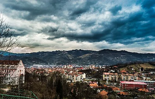
Nearby attractions & nature
Everything nearby-
Ciobanul Mountain, Hunedoara County1.5 km SE
-
Pietrii Mountain, Hunedoara County3.7 km S
-
Găuri Mountain, Oraş Petrila4.1 km S
-
Coasta lui Rus Mountain, Gorj County5.2 km S
-
Mija Mountain, Oraş Petrila5.4 km SW
-
Mieru Mare Mountain, Hunedoara County5.7 km E
-
Bora Mountain, Hunedoara County6 km E
-
Setea Mică Mountain, Gorj County6.4 km S
Sources & licences
Data last updated: · 2 independent sources