Dragomireşti-Vale
Located in Comuna Dragomireşti-Vale, Ilfov Coordinates: 44°28′30″ N 25°56′06″ E
- Population
- 4,330
- 4.3K
- Elevation
- 95 m
- above sea level
- Local time
- UTC+02:00
- Europe/Bucharest · UTC+02:00
About Dragomireşti-Vale
Dragomireşti-Vale is a city. Location: Comuna Dragomireşti-Vale, Ilfov. Population: 4,330. Elevation: 95 m.
In comparison
- Most populous of 3 places in Comuna Dragomireşti-Vale
- Nearest larger town: Chiajna, 3 km SE
Climate of Dragomireşti-Vale
Best months for sightseeing: May, September.
| Month | Jan | Feb | Mar | Apr | May | Jun | Jul | Aug | Sep | Oct | Nov | Dec |
|---|---|---|---|---|---|---|---|---|---|---|---|---|
| Average high (°C) | 2° | 4° | 11° | 17° | 23° | 26° | 28° | 28° | 24° | 17° | 9° | 3° |
| Average low (°C) | -6° | -5° | 0° | 5° | 10° | 14° | 15° | 14° | 10° | 5° | 0° | -4° |
| Precipitation (mm) | 29 | 30 | 33 | 50 | 68 | 75 | 67 | 55 | 44 | 38 | 41 | 35 |
Monthly averages for 1970–2000 at about 18 km resolution, adjusted for elevation. Highlighted months are mild and relatively dry. Source: WorldClim 2.1 (CC BY 4.0).
Airports nearest to Dragomireşti-Vale
- Bucharest Băneasa Aurel Vlaicu International Airport (BBU) Bucharest 14 km
- Bucharest Henri Coandă International Airport (OTP) Otopeni 17 km
- Brașov-Ghimbav International Airport (GHV) Brașov (Ghimbav) 141 km
Straight-line distance; airports with scheduled flights only. Source: OurAirports (public domain).
Nearby attractions & nature
Everything nearby-
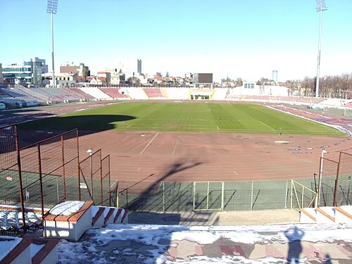 Stadionul Dinamo Landmark, Sector 213 km E
-
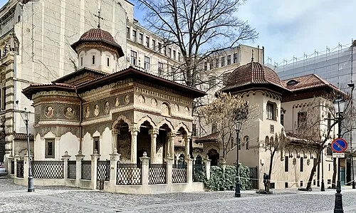 Stavropoleos Monastery Attraction, Sector 314 km E
-
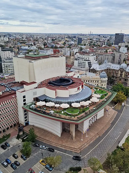 National Theatre Ion Luca Caragiale Bucharest Attraction, Sector 114 km E
-
Valea Colentina Natural site, Romania14 km N
-
Valea Vlăsia Natural site, Romania23 km NE
-
Valea Znagovului Natural site, Romania24 km N
Sources & licences
Data last updated: