La Varteje
Located in Comuna Arpaşu de Jos, Sibiu County Coordinates: 45°37′49″ N 24°38′52″ E
- Elevation
- 1,960 m
- above sea level
- Local time
- UTC+02:00
- Europe/Bucharest · UTC+02:00
- Airports
- SBZ Sibiu International Airport47 km
- GHV Brașov-Ghimbav International Airport69 km
About La Varteje
La Varteje is a mountain. Location: Comuna Arpaşu de Jos, Sibiu County. Elevation: 1,960 m. The nearest airport is Sibiu International Airport (47 km). Nearby sights include Furca Albotei and Bulzu Maharii.
Climate of La Varteje
This month · November
A cold month
Day -1° · Night -8° · Rain 47 mm
- Hottest month
- August (day 13°)
- Coldest month
- January (night -13°)
- Wettest month
- June (122 mm)
- Driest month
- January (40 mm)
Bars: average monthly low and high temperature. Below: precipitation. Monthly averages for 1970–2000 at about 18 km resolution, adjusted for elevation. Highlighted months are mild and relatively dry. Source: WorldClim 2.1 (CC BY 4.0).
Show values as a table
| Month | Jan | Feb | Mar | Apr | May | Jun | Jul | Aug | Sep | Oct | Nov | Dec |
|---|---|---|---|---|---|---|---|---|---|---|---|---|
| Average high (°C) | -6° | -6° | -2° | 2° | 8° | 11° | 13° | 13° | 9° | 5° | -1° | -5° |
| Average low (°C) | -13° | -13° | -10° | -5° | -1° | 3° | 4° | 4° | 1° | -4° | -8° | -11° |
| Precipitation (mm) | 40 | 41 | 48 | 75 | 100 | 122 | 115 | 96 | 65 | 52 | 47 | 46 |
How to get to La Varteje
The nearest airport is Sibiu International Airport (SBZ), 47 km to the west as the crow flies. The nearest large city is Sibiu, 43 km to the northwest.
Airports
- Sibiu International Airport (SBZ) Sibiu 47 kmwest
- Brașov-Ghimbav International Airport (GHV) Brașov (Ghimbav) 69 kmeast
- Târgu Mureş Transilvania International Airport (TGM) Recea 95 kmnorth
Nearby large cities
- Sibiu Population: 134.3K 43 kmnorthwest
- Brasov Population: 253.2K 75 kmeast
- Piteşti Population: 141.3K 88 kmsouth
- Târgu Mureş Population: 212.8K 102 kmnorth
- Ploieşti Population: 180.5K 131 kmsoutheast
Straight-line distances; road distances are longer. Airport data: OurAirports.
Day trips from La Varteje
Within 100 km: 2 historic and cultural sites, 794 natural sites, 2 lakes, rivers and coasts.
0–25 km159 places
- Puha Mountain 12 kmSW
- Muntele Vârtoapele Mountain 15 kmE
- Vârful Urlei Mountain 15 kmE
- Suru Mountain 17 kmW
25–60 km270 places
- Coltii Blajeni Mountain 56 kmSE
- Valea Râul Sadului Natural site 40 kmW
- Valea Fofeldei Natural site 29 kmNW
- Valea Ciuparilor Natural site 45 kmW
60–100 km369 places
- Valea Râncăciov Natural site 81 kmS
- Valea Purcăreanca Natural site 76 kmS
- Valea Pănadei Natural site 84 kmNW
- Valea Negraia Natural site 94 kmSW
Straight-line distances.
Nearest towns and villages
-
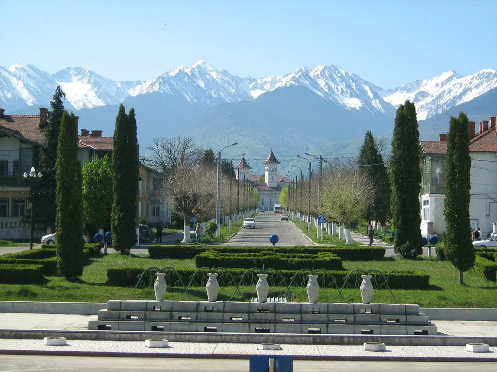 Victoria City, Oraş Victoria12 km N
-
Arpașu de Sus Village, Comuna Arpaşu de Jos12 km N
-
Cârţişoara City, Comuna Cârţişoara11 km NW
-
Viștișoara Village, Comuna Viştea de Jos11 km NE
-
Ucea de Sus Village, Comuna Ucea de Jos14 km N
-
Arpaşu de Jos City, Comuna Arpaşu de Jos17 km N
Nearby attractions & nature
Everything nearby-
Furca Albotei Mountain, Comuna Arpaşu de Jos1 km N
-
Bulzu Maharii Mountain, Comuna Arpaşu de Jos1.8 km N
-
Jnepanilor Mountain, Comuna Cârţişoara2.3 km W
-
Portita Albotei Mountain, Arges2.3 km S
-
Fantana Mountain, Arges2.9 km S
-
Puntea Oii Mountain, Comuna Arpaşu de Jos3.2 km N
-
Babei Mountain, Sibiu County3.2 km E
-
Capra Mountain, Arges3.2 km S
Sources & licences
Data last updated: · 2 independent sources