- Elevation
- 1,503 m
- above sea level
- Local time
- UTC+01:00
- Europe/Bratislava · UTC+01:00
- Airports
- TAT Poprad-Tatry Airport15 km
- SLD Sliač Airport90 km
About Popradské Pleso
Popradské Pleso is a lake. Location: Prešov Region, Slovakia. Elevation: 1,503 m. The nearest airport is Poprad-Tatry Airport (15 km). Nearby sights include Rysy and Žabia veža.
Photos of Popradské Pleso
-
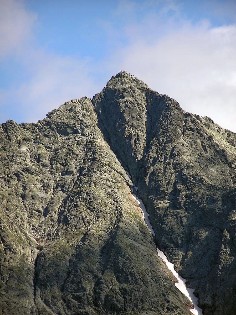
Rysy Andrzej Makarczuk · CC BY-SA 2.5 -
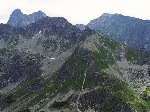
Szpiglasowy Wierch Jerzy Opioła · CC BY-SA 3.0 -
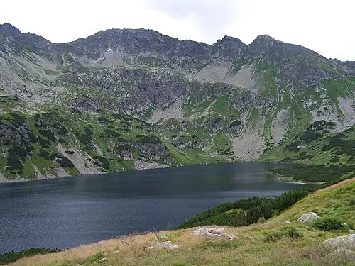
Wyżni Liptowski Kostur Opioła Jerzy · CC BY 2.5 -
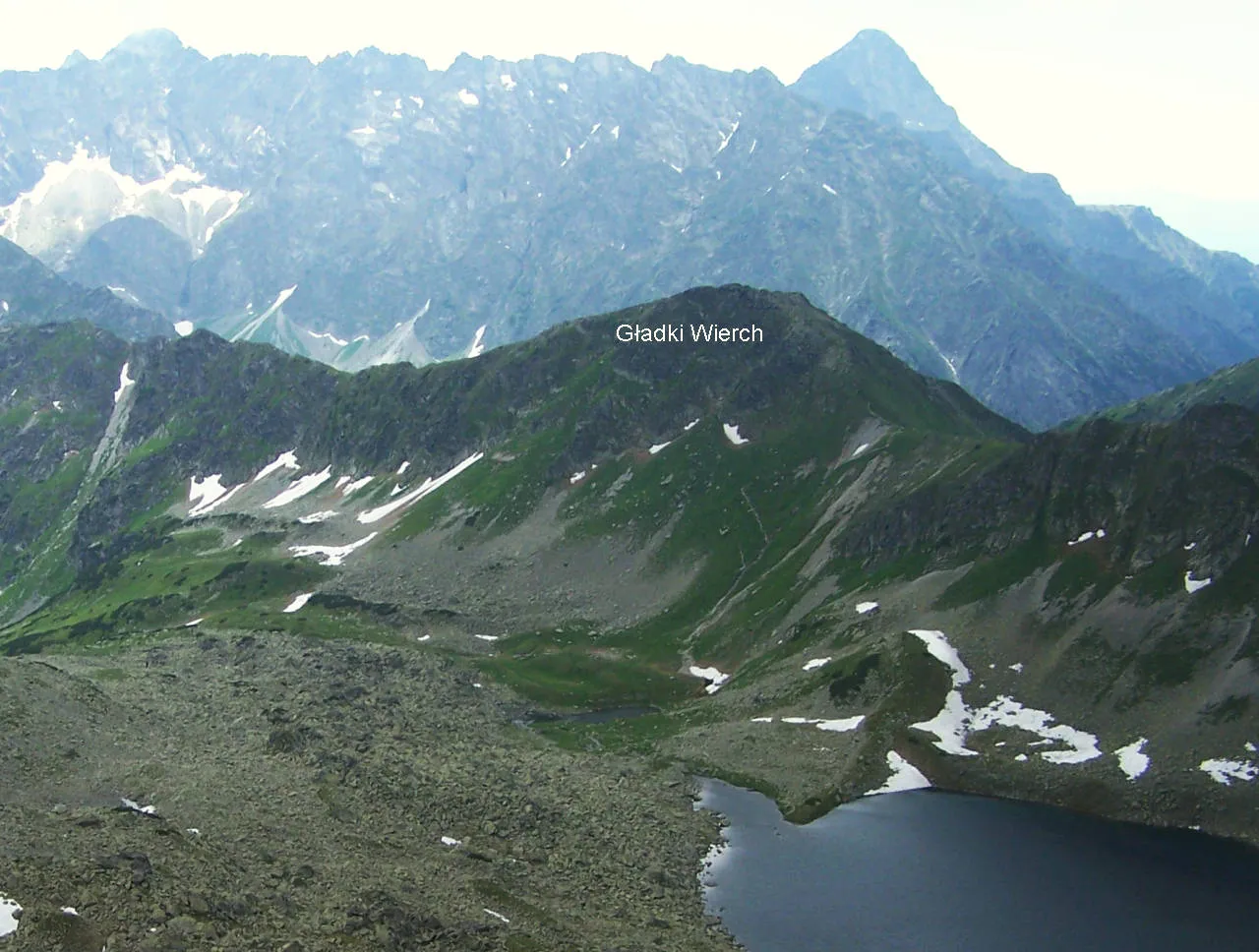
Gładki Wierch Opioła Jerzy · CC BY-SA 3.0 -
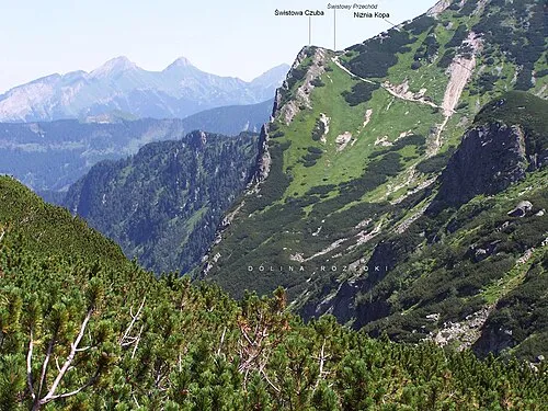
Swistowa Czuba Jerzy Opioła · CC BY-SA 3.0


Climate of Popradské Pleso
This month · November
A cold month
Day 0° · Night -6° · Rain 64 mm
- Hottest month
- August (day 16°)
- Coldest month
- January (night -11°)
- Wettest month
- June (138 mm)
- Driest month
- January (44 mm)
Bars: average monthly low and high temperature. Below: precipitation. Monthly averages for 1970–2000 at about 18 km resolution, adjusted for elevation. Highlighted months are mild and relatively dry. Source: WorldClim 2.1 (CC BY 4.0).
Show values as a table
| Month | Jan | Feb | Mar | Apr | May | Jun | Jul | Aug | Sep | Oct | Nov | Dec |
|---|---|---|---|---|---|---|---|---|---|---|---|---|
| Average high (°C) | -4° | -3° | 0° | 5° | 11° | 14° | 16° | 16° | 12° | 7° | 0° | -3° |
| Average low (°C) | -11° | -11° | -8° | -4° | 1° | 4° | 5° | 5° | 2° | -2° | -6° | -10° |
| Precipitation (mm) | 44 | 44 | 52 | 79 | 110 | 138 | 135 | 118 | 91 | 65 | 64 | 56 |
How to get to Popradské Pleso
The nearest airport is Poprad-Tatry Airport (TAT), 15 km to the southeast as the crow flies. The nearest large city is Košice, 99 km to the southeast.
Airports
- Poprad-Tatry Airport (TAT) Poprad 15 kmsoutheast
- Sliač Airport (SLD) Sliač 90 kmsouthwest
- Košice International Airport (KSC) Košice 101 kmsoutheast
Nearby large cities
- Košice Population: 225K 99 kmsoutheast
- Miskolc Population: 154.5K 128 kmsoutheast
- Nyíregyháza Population: 117.7K 180 kmsoutheast
- Debrecen Population: 202.4K 214 kmsoutheast
- Győr Population: 129.3K 244 kmsouthwest
Straight-line distances; road distances are longer. Airport data: OurAirports.
Day trips from Popradské Pleso
Within 100 km: 28 historic and cultural sites, 321 natural sites, 14 lakes, rivers and coasts.
0–25 km93 places
- Skalnaté pleso Lake 12 kmE
- Ostrá Mountain 4 kmW
- Vysoká Mountain 2 kmNE
- Slavkovský štít Mountain 8 kmE
25–60 km84 places
- Beskids Mountain 32 kmNE
- Čertovica Mountain 37 kmSW
- Baníkov Mountain 27 kmW
- Ľubica River 26 kmE
60–100 km186 places
- Branisko Mountain 62 kmE
- Veľký Kriváň Mountain 77 kmW
- Tlstá Mountain 85 kmW
- Rakytov Mountain 69 kmW
Straight-line distances.
Nearest towns and villages
-
Štrbské Pleso Village, Poprad District4 km S
-
Štôla Village, Poprad District8.1 km SE
-
Mengusovce Village, Poprad District9.9 km SE
-
Strba Village, Poprad District11 km S
-
Gerlachov Village, Gerlachov11 km SE
-
Vysoké Tatry Village, Poprad District12 km E
Nearby attractions & nature
Everything nearby-
Rysy Mountain, Gmina Bukowina Tatrzańska2.9 km N
-
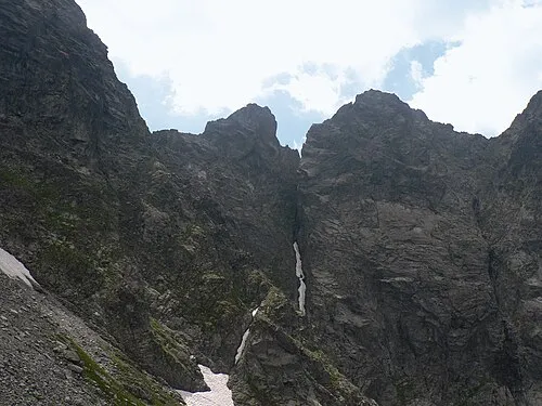 Žabia veža Mountain, Lesser Poland Voivodeship2.8 km N
-
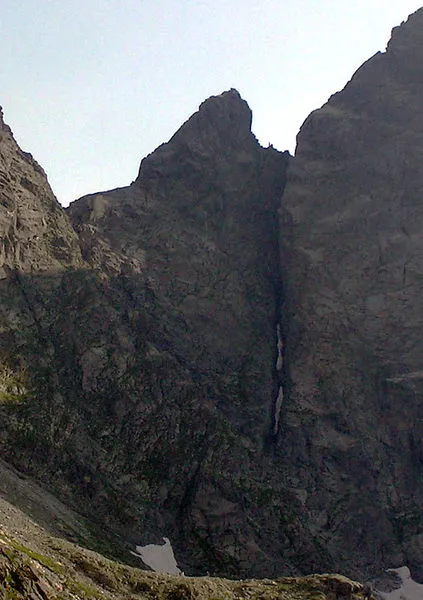 Żabi Koń Mountain, Poland2.8 km N
-
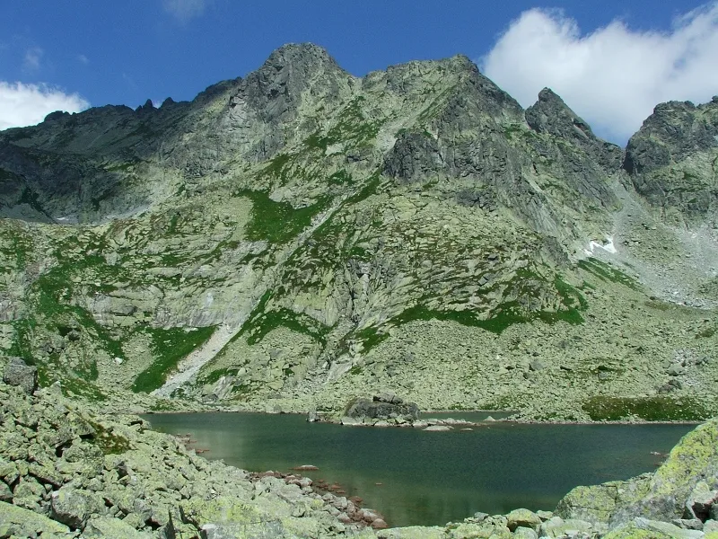 Wołowa Turnia Mountain, Lesser Poland Voivodeship2.9 km N
-
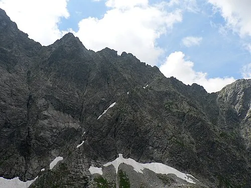 Hińczowa Turnia Mountain, Gmina Bukowina Tatrzańska3.1 km N
-
Veľké Hincovo Pleso Lake, Slovakia3.2 km NW
-
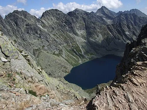 Mięguszowiecki Szczyt Czarny Mountain, Gmina Bukowina Tatrzańska3.4 km N
-
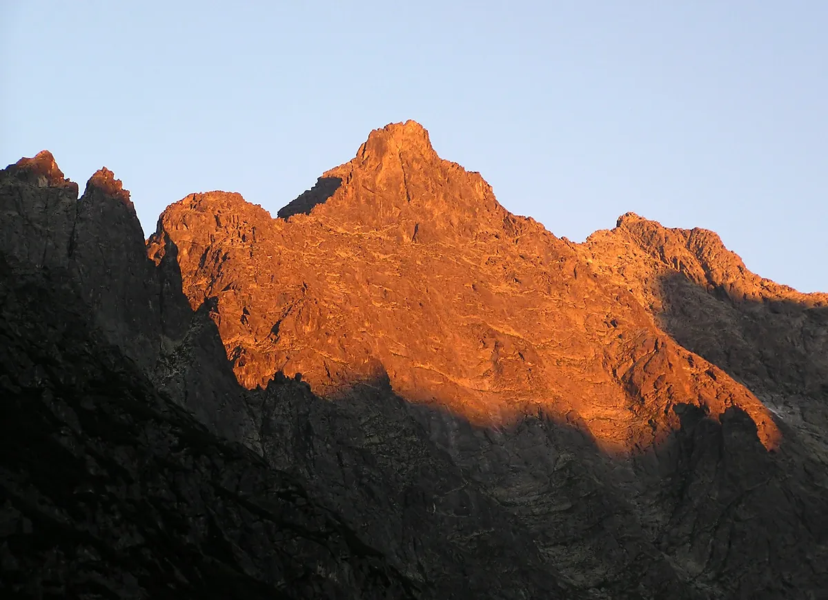 Niżnie Rysy Mountain, Gmina Bukowina Tatrzańska3.4 km N
Sources & licences
Data last updated: