Veľký Rozsutec
Located in Žilina District, Žilina Region Coordinates: 49°13′55″ N 19°05′59″ E

- Elevation
- 1,600 m
- above sea level
- Local time
- UTC+01:00
- Europe/Bratislava · UTC+01:00
- Airports
- SLD Sliač Airport66 km
- TAT Poprad-Tatry Airport85 km
About Veľký Rozsutec
Veľký Rozsutec is a mountain. Location: Žilina District, Žilina Region. Elevation: 1,600 m.
Veľký Rozsutec (1,609.7 m; 5,281.17 ft AMSL) is a mountain situated in the Malá Fatra mountain range in the Žilina Region, Slovakia. The peak is situated in the north part of Malá Fatra called Krivánska Malá Fatra and is part of the Malá Fatra National Park and Rozsutec National Nature Reserve (since 1967). Veľký Rozsutec and the surrounding area are home to many endangered species of plants and animals, some of which are endemic, as well as rare karst terrain.
Source: Wikipedia · CC BY-SA 4.0
Photos of Veľký Rozsutec
-

Veľký Kriváň Juloml · CC BY-SA 3.0

Climate of Veľký Rozsutec
This month · November
A cold month
Day -1° · Night -8° · Rain 84 mm
- Hottest month
- August (day 15°)
- Coldest month
- January (night -13°)
- Wettest month
- July (129 mm)
- Driest month
- February (69 mm)
Bars: average monthly low and high temperature. Below: precipitation. Monthly averages for 1970–2000 at about 18 km resolution, adjusted for elevation. Highlighted months are mild and relatively dry. Source: WorldClim 2.1 (CC BY 4.0).
Show values as a table
| Month | Jan | Feb | Mar | Apr | May | Jun | Jul | Aug | Sep | Oct | Nov | Dec |
|---|---|---|---|---|---|---|---|---|---|---|---|---|
| Average high (°C) | -6° | -4° | -1° | 5° | 11° | 13° | 15° | 15° | 11° | 6° | -1° | -5° |
| Average low (°C) | -13° | -13° | -10° | -6° | -1° | 2° | 3° | 3° | 0° | -4° | -8° | -12° |
| Precipitation (mm) | 76 | 69 | 71 | 72 | 105 | 128 | 129 | 115 | 91 | 74 | 84 | 88 |
How to get to Veľký Rozsutec
The nearest airport is Sliač Airport (SLD), 66 km to the south as the crow flies. For international flights: Leoš Janáček Airport Ostrava (OSR) (88 km). The nearest large city is Košice, 168 km to the east.
Airports
- Sliač Airport (SLD) Sliač 66 kmsouth
- Poprad-Tatry Airport (TAT) Poprad 85 kmeast
- Leoš Janáček Airport Ostrava (OSR) Mošnov 88 kmnorthwest
Nearby large cities
- Košice Population: 225K 168 kmeast
- Miskolc Population: 154.5K 176 kmsoutheast
- Brno Population: 404.3K 182 kmwest
- Bratislava Population: 423.7K 190 kmsouthwest
- Győr Population: 129.3K 203 kmsouthwest
Straight-line distances; road distances are longer. Airport data: OurAirports.
Day trips from Veľký Rozsutec
Within 100 km: 29 historic and cultural sites, 391 natural sites, 15 lakes, rivers and coasts.
0–25 km14 places
- Veľký Kriváň Mountain 7 kmSW
- Chleb Mountain 6 kmSW
- Orava Castle Historic site 19 kmE
- Bugaj Mountain 19 kmN
25–60 km160 places
- Korňa River 41 kmNW
- Tlstá Mountain 34 kmS
- Strážov Mountain 56 kmSW
- Rakytov Mountain 31 kmS
60–100 km261 places
- Skalnaté pleso Lake 83 kmE
- Popradské Pleso Lake 72 kmE
- Ostrá Mountain 68 kmE
- Vysoká Mountain 73 kmE
Straight-line distances.
Nearest towns and villages


Nearby attractions & nature
Everything nearby-
Vrátna Valley Natural site, Žilina Region5.1 km W
-
Chleb Mountain, Martin District6 km SW
-
Veľký Kriváň Mountain, Martin District7 km SW
-
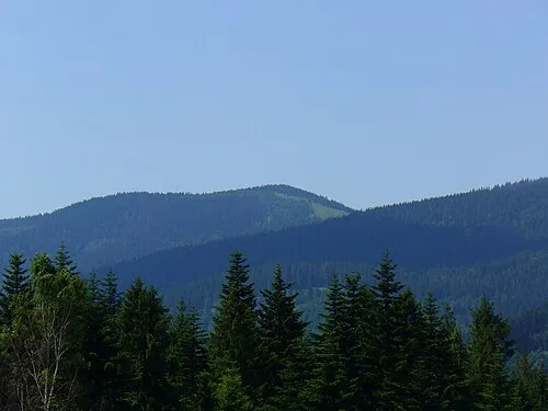 Rycerzowa Wielka Mountain, Gmina Ujsoły20 km N
-
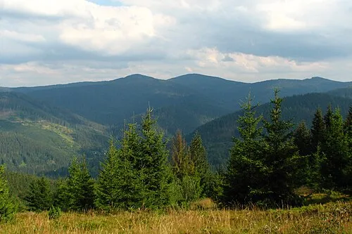 Rycerzowa Mała Mountain, Gmina Ujsoły21 km N
-
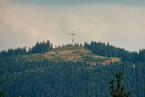 Będoszka Wielka Mountain, Rajcza22 km N
-
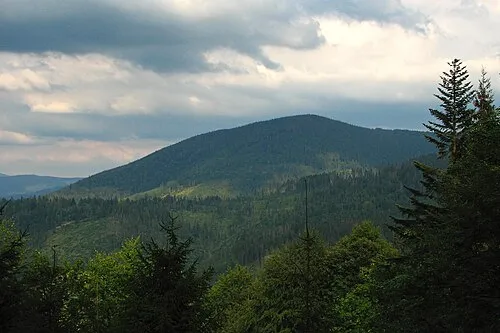 Minczoł Mountain, Gmina Ujsoły25 km N
-
 Orava River, Žilina Region9.1 km S
Sources & licences
Data last updated: · 2 independent sources