Berja
Located in Almeria, Andalusia Coordinates: 36°50′22″ N 2°58′07″ W
- Population
- 15,504
- 15.5K
- Elevation
- 259 m
- above sea level
- Local time
- UTC+01:00
- Europe/Madrid · UTC+01:00
- Places inside
- 17
- listed under Berja
About Berja
Berja is a municipality. Location: Almeria, Andalusia. Population: 15,504. Elevation: 259 m.
Berja (Spanish pronunciation: [ˈbeɾxa]) is a municipality, former bishopric and Latin titular see in Almería province, in the autonomous community of Andalusia, southern Spain. It is located on the south-eastern slope of the Sierra de Gádor, 16 km north-east of Adra.
Read more on Wikipedia Text: Wikipedia contributors · CC BY-SA 4.0 · shortened
At a glance
- Area
- 218 km²
Source: Wikidata
In comparison
- No. 9 of 103 places in Almeria by population
- Nearest larger town: Adra, 11 km SW
- 6 sights and natural places within 10 km Parroquia de la Anunciación, Félix Rodríguez de la Fuente Park
- Listed here: Village: 11, Attraction: 2, Natural site: 2, Mountain: 1
Places in Berja
17 places-
Berja Town15K
-
Turón Village339
-
Castala Village85
-
Alpujarra Park Natural site
-
Benínar Village
-
Cerro del Molinero Mountain
-
Chirán Village
-
El Cid Village
-
El Río Chico Village
-
El Río Grande Village
-
Félix Rodríguez de la Fuente Park Natural site
-
Hirmes Village
-
La Peñarrodada Village
-
La Rambla Village
-
Parroquia de la Anunciación Attraction
-
Plaza de Toros de Berja Attraction
-
San Roque Village
Nearby attractions & nature
Everything nearby-
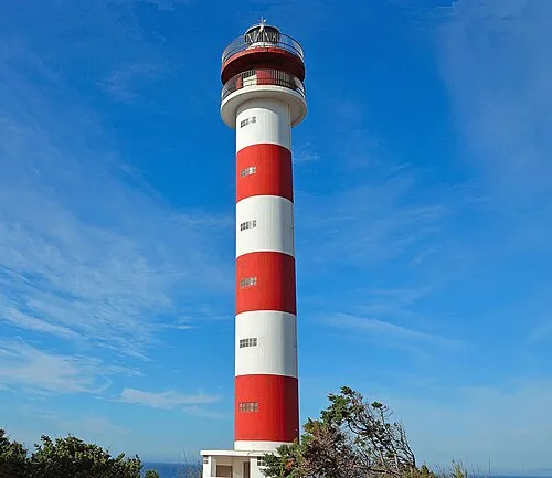 Adra Lighthouse Landmark, Adra12 km SW
-
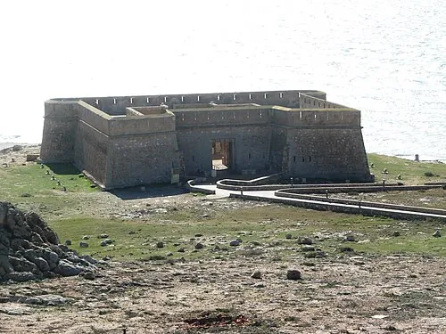 Castillo de Guardias Viejas Historic site, Ejido, El19 km SE
-
Albufera de Adra Natural site, Adra9.8 km S
-
Estadio Municipal Santo Domingo Landmark, Ejido, El17 km SE
-
Playa de San Nicolás Beach, Almeria11 km S
-
Iglesia Parroquial de la Inmaculada Concepción Attraction, Adra11 km S
-
Playa de la Sirena Loca Beach, Andalusia12 km SW
-
Murgis Historic site, Dalías11 km SE
Sources & licences
Data last updated: · 2 independent sources