Castillo de Tabernas
Local name: Alcazaba
Located in Tabernas, Almeria Coordinates: 37°03′08″ N 2°23′42″ W
- Local time
- UTC+01:00
- Europe/Madrid · UTC+01:00
- Elevation
- 468 m
- above sea level
About Castillo de Tabernas
Castillo de Tabernas is a historic site. Location: Tabernas, Almeria.
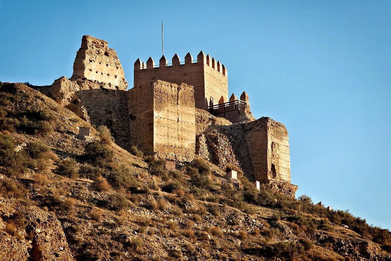
Castillo de Tabernas is a ruined castle on the outskirts of the municipality of Tabernas, Almería province, in the autonomous community of Andalusia, Spain. It was built in the 11th century during the time of Arab domination. It is of Moorish style and is situated on top of a hill. When it was built, it occupied the entire hill, though currently only a part is preserved. In 1993, it was declared a Bien de Interés Cultural monument.
Read more on Wikipedia Text: Wikipedia contributors · CC BY-SA 4.0 · shortened
At a glance
- Heritage designation
- bien de interés cultural
Source: Wikidata
In comparison
- 6 sights and natural places within 10 km Centro de Interpretación Terrera Ventura, Iglesia Parroquial de Ntra. Sra. de la Encarnación
Nearby attractions & nature
Everything nearby-
Centro de Interpretación Terrera Ventura Museum, Tabernas0.4 km NE
-
Iglesia Parroquial de Ntra. Sra. de la Encarnación Attraction, Tabernas0.4 km SE
-
Fuerte El Condor Historic site, Tabernas5.2 km W
-
Rambla Sergio Leone Natural site, Tabernas4.4 km SW
-
Nueva Frontera Historic site, Tabernas5.7 km SW
-
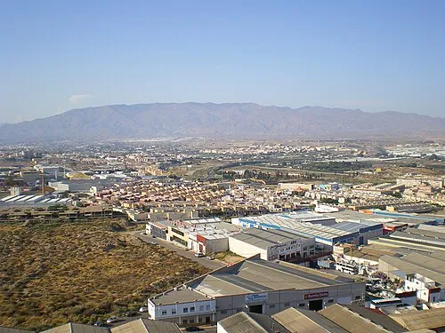 Sierra de Alhamilla Mountain, Almería7.8 km SE
-
Los Millares Historic site, Santa Fe de Mondújar14 km SW
-
Los Millares, necrópolis (corbelled tombs) Historic site, Santa Fe de Mondújar15 km SW
Nearest towns and villages
-
Tabernas Village, Tabernas0.5 km SE
-
Pago Aguilar Bajo Village, Tabernas3 km NE
-
Joluque Village, Tabernas3.9 km SE
-
Marchante Village, Tabernas5.3 km SE
Sources & licences
Data last updated: · 2 independent sources