Los Caños de Meca
Located in Barbate, Cadiz Coordinates: 36°11′09″ N 6°00′27″ W
- Population
- 295
- 295
- Elevation
- 22 m
- above sea level
- Local time
- UTC+01:00
- Europe/Madrid · UTC+01:00
About Los Caños de Meca
Los Caños de Meca is a village. Location: Barbate, Cadiz. Population: 295. Elevation: 22 m.
Los Caños de Meca is a small seaside village to the east of Cape Trafalgar on the Costa de la Luz of Spain. It is part of the Province of Cádiz and the autonomous region of Andalusia. Los Caños de Meca history is related to the Straits of Gibraltar, the Roman Fretus Herculeum and the Arab Boughaz el Tarek. Also the Battle of Trafalgar was fought near the coast of Caños de Meca, off the Cape of Trafalgar, over 200 years ago, 21 October 1805.
Read more on Wikipedia Text: Wikipedia contributors · CC BY-SA 4.0 · shortened
In comparison
- No. 3 of 3 places in Barbate by population
- Nearest larger town: Barbate, 6 km E
- 19 sights and natural places within 10 km Los Caños de Meca, Playa de Varadero
Nearby attractions & nature
Everything nearby-
Los Caños de Meca Beach, Cadiz0.2 km SW
-
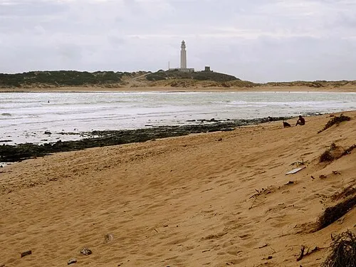 Playa de Varadero Beach, Barbate1.7 km W
-
Cabo Trafalgar Natural site, Barbate2.4 km W
-
Cape Trafalgar Light Landmark, Barbate2.5 km W
-
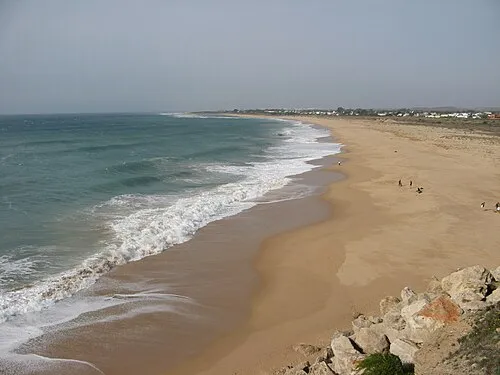 Playa de Zahora Beach, Barbate3.7 km W
-
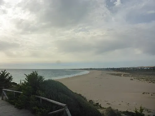 Playa de Isabel Beach, Barbate3.2 km W
Sources & licences
Data last updated: · 2 independent sources