Río Salado
Located in Rota, Cadiz Coordinates: 36°38′04″ N 6°18′42″ W
- Elevation
- 2 m
- above sea level
- Local time
- UTC+01:00
- Europe/Madrid · UTC+01:00
About Río Salado
Río Salado is a river. Location: Rota, Cadiz.
In comparison
- 40 sights and natural places within 10 km Platja Matanda, Playa de Fuentebravía
Nearest towns and villages
-
Rota Town, Rota4.5 km W
-
El Campillo Village, Rota1.8 km N
-
Puerto de Santa María, El Municipality, Cadiz7.7 km E
-
El Puerto de Santa María Town, Puerto de Santa María, El8.4 km SE
-
Inmaculada Village, Puerto de Santa María, El4.7 km SE
-
Almadraba Village, Rota6.6 km W
Nearby attractions & nature
Everything nearby-
Platja Matanda Beach, Rota3.4 km W
-
Playa de Fuentebravía Beach, Puerto de Santa María, El3.6 km SE
-
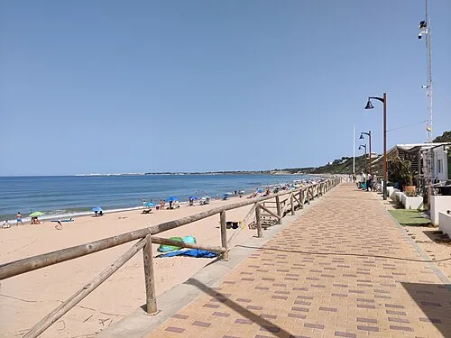 Playa de Santa Catalina Beach, Puerto de Santa María, El5.1 km SE
-
Parque El Mayeto Natural site, Rota4.7 km W
-
Playa del Chorrillo Beach, Spain4 km W
-
Playa El Ancla Beach, Puerto de Santa María, El4.6 km SE
-
Playa de la Costilla Beach, Cadiz4.9 km W
-
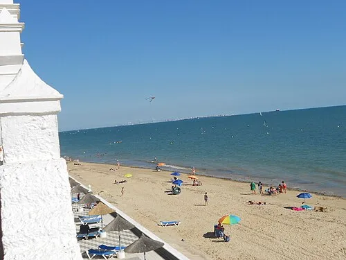 Playa de la Luz Beach, Rota6.5 km W
More lakes, rivers and coasts in Spain
-
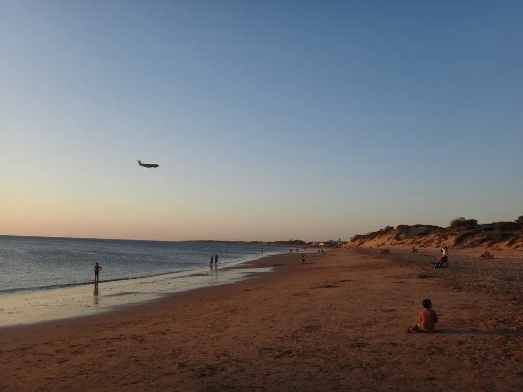 Playa de Punta Candor Beach, Rota7.3 km W
-
Playa Bonita Rota Beach, Rota7.4 km W
-
Playa De Pejina Beach, Rota9.1 km W
Sources & licences
Data last updated: