Vejer de la Frontera
Located in Cadiz, Andalusia Coordinates: 36°16′12″ N 5°58′23″ W
- Population
- 12,857
- 12.9K
- Elevation
- 32 m
- above sea level
- Local time
- UTC+01:00
- Europe/Madrid · UTC+01:00
- Places inside
- 14
- listed under Vejer de la Frontera
About Vejer de la Frontera
Vejer de la Frontera is a municipality. Location: Cadiz, Andalusia. Population: 12,857. Elevation: 32 m.
Vejer de la Frontera is a Spanish hilltop town and municipality in the province of Cádiz, Andalusia, on the right bank of the river Barbate. The town of Vejer de la Frontera occupies a low hill overlooking the Straits of Gibraltar and surrounded by orchards and orange groves. It contains several ancient churches and convents, and the architecture of many of its houses recalls the period of Moorish rule, which lasted from 711 until the town was captured by Saint Ferdinand of Castile in 1248.
Read more on Wikipedia Text: Wikipedia contributors · CC BY-SA 4.0 · shortened
At a glance
- Area
- 263 km²
Source: Wikidata
In comparison
- No. 19 of 44 places in Cadiz by population
- Nearest larger town: Vejer de la Frontera, 2 km S
- 12 sights and natural places within 10 km Santa Lucía Roman Aqueduct, Castillo de vejer
- Listed here: River: 5, Historic site: 2, Mountain: 2, Village: 2
Places in Vejer de la Frontera
14 places-
Vejer de la Frontera Town13K
-
Arroyo de Benalup River
-
Arroyo del Navero River
-
Arroyo del Yeso River
-
Castillo de vejer Historic site
-
Cerro Patria Mountain
-
Laguna de la Janda Lake
-
La Muela Village
-
Los Naveros Village
-
Mesa del Algar Mountain
-
Playa el Palmar Beach
-
Río Celemín River
-
Río del Álamo River
-
Santa Lucía Roman Aqueduct Historic site
Nearby attractions & nature
Everything nearby-
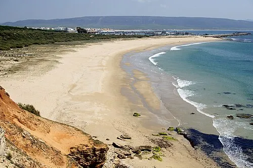 Playa de la Hierbabuena Beach, Cadiz9.8 km S
-
Cerro Lucas Mountain, Conil de la Frontera7.4 km N
-
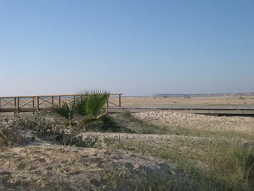 Playa los Bateles Beach, Cadiz11 km W
-
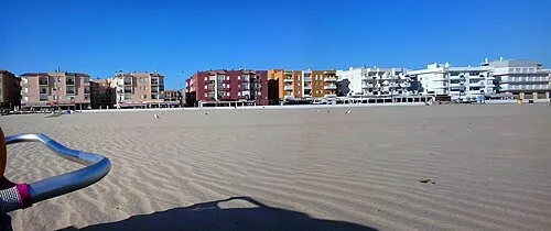 Playa de Barbate de Franco Beach, Cadiz10 km SE
-
Playa de Moron Beach, Cadiz9.9 km SW
-
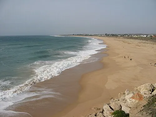 Playa de Zahora Beach, Barbate10 km SW
-
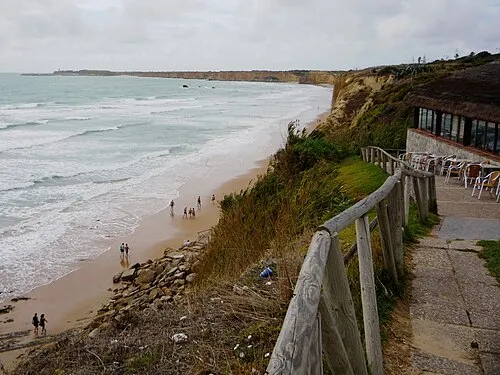 Playa El Roqueo Beach, Cadiz12 km W
-
Los Caños de Meca Beach, Cadiz10 km S
Sources & licences
Data last updated: · 2 independent sources