Cogollos de la Vega
Located in Granada, Andalusia Coordinates: 37°17′58″ N 3°33′36″ W
- Population
- 1,983
- 2K
- Elevation
- 1,063 m
- above sea level
- Local time
- UTC+01:00
- Europe/Madrid · UTC+01:00
- Places inside
- 3
- listed under Cogollos de la Vega
About Cogollos de la Vega
Cogollos de la Vega is a municipality. Location: Granada, Andalusia. Population: 1,983. Elevation: 1,063 m.
Cogollos Vega is a municipality in the province of Granada, Spain, located at the feet of the Sierra de Cogollos. As of 2010, it had a population of 2068 inhabitants. It is Located in the northern part of the province, about 14 km from the provincial capital, Granada. It borders the municipalities of Deifontes, Iznalloz, Huétor Santillán, Nívar, Güevéjar, Calicasas and Albolote.
Read more on Wikipedia Text: Wikipedia contributors · CC BY-SA 4.0 · shortened
At a glance
- Area
- 49.9 km²
Source: Wikidata
In comparison
- No. 73 of 169 places in Granada by population
- Nearest larger town: Deifontes, 4 km NW
- 10 sights and natural places within 10 km Sierra de Cogollos, Sierra de la Yedra
- Listed here: Village: 2, Mountain: 1
Airports nearest to Cogollos de la Vega
- F.G.L. Airport Granada-Jaén Airport (GRX) Granada 23 km
- Málaga-Costa del Sol Airport (AGP) Málaga 108 km
- Almería Airport (LEI) Almería 117 km
Straight-line distance; airports with scheduled flights only. Source: OurAirports (public domain).
Places in Cogollos de la Vega
3 places-
Caserío La Dehesilla Village
-
Cogollos Vega Village
-
Sierra de Cogollos Mountain
Nearby attractions & nature
Everything nearby-
Sierra de la Yedra Mountain, Nívar3.9 km S
-
Sierra Arana Mountain, Iznalloz4.7 km NE
-
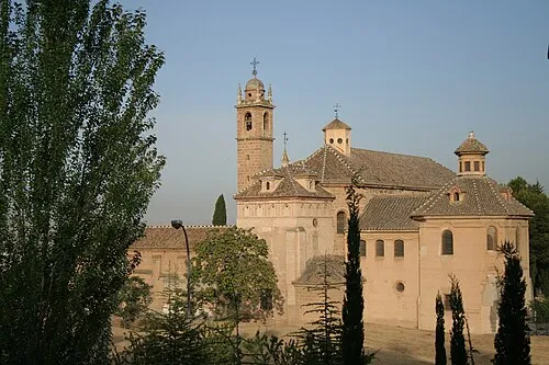 Granada Charterhouse Attraction, Granada12 km S
-
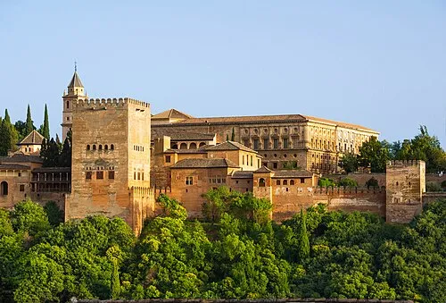 Alhambra Historic site, Granada14 km S
-
Palacio Del Cuzco Historic site, Víznar7.6 km S
-
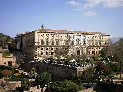 Palace of Charles V Historic site, Granada14 km S
-
Peña de la Cruz Mountain, Huétor de Santillán9 km NE
-
Teatro Pablo Neruda Attraction, Peligros9.4 km SW
Sources & licences
Data last updated: · 2 independent sources