Algarrobo
Located in Malaga, Andalusia Coordinates: 36°45′39″ N 4°02′42″ W
- Population
- 6,584
- 6.6K
- Elevation
- 33 m
- above sea level
- Local time
- UTC+01:00
- Europe/Madrid · UTC+01:00
- Places inside
- 6
- listed under Algarrobo
About Algarrobo
Algarrobo is a municipality. Location: Malaga, Andalusia. Population: 6,584. Elevation: 33 m.
Algarrobo is a town and municipality in the province of Málaga, part of the autonomous community of Andalusia in southern Spain. The municipality is situated in the coastal area of La Axarquía, 32 kilometers from the city of Málaga. It is bordered on the north by the municipality of Arenas and Sayalonga, to the east and west by Vélez-Málaga and to the south by the Mediterranean Sea. It is situated at an altitude of 86 meters.
Read more on Wikipedia Text: Wikipedia contributors · CC BY-SA 4.0 · shortened
At a glance
- Area
- 10 km²
Source: Wikidata
In comparison
- No. 23 of 101 places in Malaga by population
- Nearest larger town: Torre del Mar, 5 km SW
- 43 sights and natural places within 10 km tomb 1 of Trayamar, tomb 5 of Trayamar
- Listed here: Historic site: 5, Town: 1
Places in Algarrobo
6 places-
Algarrobo Town5.1K
-
tomb 1 of Trayamar Historic site
-
tomb 2 of Trayamar Historic site
-
tomb 3 of Trayamar Historic site
-
tomb 4 of Trayamar Historic site
-
tomb 5 of Trayamar Historic site
Nearby attractions & nature
Everything nearby-
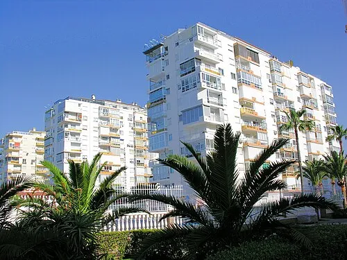 Playa de Algarrobo Costa Beach, Malaga1.9 km SW
-
Iglesia Nuestra Señora del Carmen Attraction, Vélez-Málaga2 km SW
-
Río de Algarrobo River, Vélez-Málaga1.8 km S
-
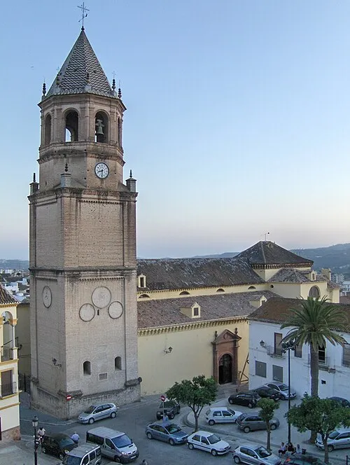 Iglesia de San Juan Bautista Attraction, Vélez-Málaga5.7 km NW
-
Estatua Pescador Tralla Landmark, Vélez-Málaga4.8 km SW
-
Parroquia de San Andrés Apóstol Attraction, Vélez-Málaga4.8 km SW
-
Playa Torre Del Mar Beach, Vélez-Málaga4.7 km SW
-
Iglesia de Santa María Attraction, Vélez-Málaga5.8 km NW
Sources & licences
Data last updated: · 2 independent sources