Cap de Catalunya
Located in Balearic Islands, Spain Coordinates: 39°57′41″ N 3°10′47″ E
- Elevation
- 16 m
- above sea level
- Local time
- UTC+01:00
- Europe/Madrid · UTC+01:00
About Cap de Catalunya
Cap de Catalunya is a natural site. Location: Balearic Islands, Spain.
In comparison
- 8 sights and natural places within 10 km Cape Formentor Lighthouse, Cap de Formentor
Nearest towns and villages
-
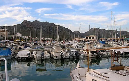 Port de Pollença Town, Pollença10 km SW
-
Formentor Village, Pollença4.9 km SW
-
Alcúdia Municipality, Balearic Islands13 km SW
-
Alcúdia Town, Alcúdia13 km S
-
Port d'Alcudia Town, Alcúdia14 km S
-
Pollença Municipality, Balearic Islands17 km SW
Nearby attractions & nature
Everything nearby-
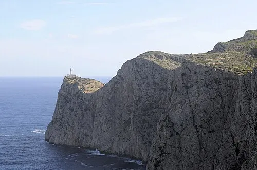 Cap de Formentor Natural site, Pollença2.9 km E
-
Illa de Formentor Island, Balearic Islands5.3 km SW
-
el Colomer Island, Balearic Islands4.5 km SW
-
Cape Formentor Lighthouse Landmark, Pollença2.8 km E
-
Platja de Formentor Beach, Spain5.1 km SW
-
Badia de Pollença Natural site, Balearic Islands7.9 km SW
-
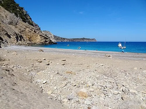 Plataj des Coll Baix Beach, Balearic Islands11 km S
-
Caló des moro Beach, Spain8.1 km SW
More nature in Spain
-
Cap de Menorca Natural site, Balearic Islands11 km S
-
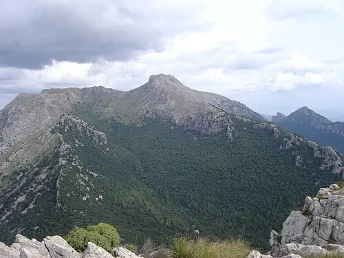 Puig de Massanella Mountain, Escorca33 km SW
-
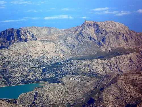 Puig Major Mountain, Escorca37 km SW
-
Alcudia Bay Natural site, Balearic Islands19 km S
-
Puig Tomir Mountain, Escorca25 km SW
-
Cabo Farruch Natural site, Artà24 km SE
Sources & licences
Data last updated: