Menagarai
Located in Aiara / Ayala, Araba / Álava Coordinates: 43°05′49″ N 3°04′14″ W
- Elevation
- 309 m
- above sea level
- Local time
- UTC+01:00
- Europe/Madrid · UTC+01:00
About Menagarai
Menagarai is a village. Location: Aiara / Ayala, Araba / Álava. Elevation: 309 m.
Menagarai (Spanish: Menagaray) is a hamlet in the municipality of Ayala/Aiara, Álava, Basque Country, Spain. Together with neighboring Beotegi it forms the concejo of Menagarai-Beotegi.
Read more on Wikipedia Text: Wikipedia contributors · CC BY-SA 4.0 · shortened
In comparison
- Nearest larger town: Aiara / Ayala, 2 km S
- 8 sights and natural places within 10 km Artziniega, Iglesia de San Vicente de Añes
Airports nearest to Menagarai
- Bilbao Airport (BIO) Bilbao 26 km
- Vitoria Airport (VIT) Alava 37 km
- Seve Ballesteros-Santander Airport (SDR) Santander 71 km
Straight-line distance; airports with scheduled flights only. Source: OurAirports (public domain).
Nearby attractions & nature
Everything nearby-
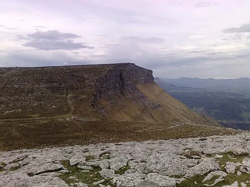 Eskutxi Mountain, Aiara / Ayala7.5 km SW
-
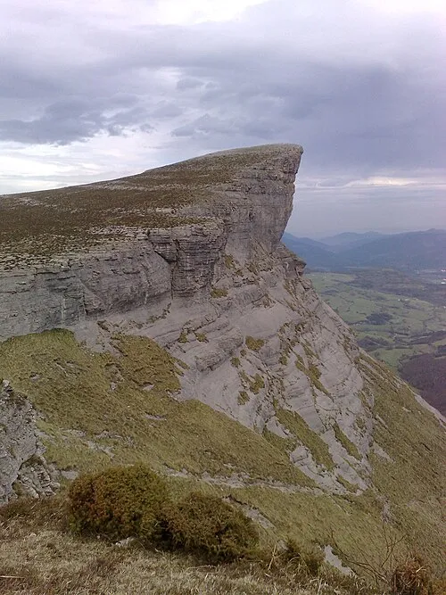 Ungino Mountain, Aiara / Ayala7.6 km S
-
Artziniega River, Aiara / Ayala5.3 km NW
-
Iglesia de San Vicente de Añes Attraction, Aiara / Ayala6.6 km SW
-
Ponata Mountain, Aiara / Ayala8.9 km S
-
Aro Mountain, Aiara / Ayala9.1 km SW
Sources & licences
Data last updated: · 2 independent sources