Mendixur / Mendíjur
Located in Barrundia Municipality, Araba / Álava Coordinates: 42°53′13″ N 2°32′13″ W
- Elevation
- 564 m
- above sea level
- Local time
- UTC+01:00
- Europe/Madrid · UTC+01:00
About Mendixur / Mendíjur
Mendixur / Mendíjur is a village. Location: Barrundia Municipality, Araba / Álava. Elevation: 564 m.
In comparison
- Nearest larger town: Burgelu / Elburgo, 3 km S
- 3 sights and natural places within 10 km Estibaliz Mediumwave Transmitter, Reservoir of Ullíbarri-Gamboa
Airports nearest to Mendixur / Mendíjur
- Vitoria Airport (VIT) Alava 15 km
- Logroño-Agoncillo Airport (RJL) Logroño 50 km
- Bilbao Airport (BIO) Bilbao 55 km
Straight-line distance; airports with scheduled flights only. Source: OurAirports (public domain).
Nearby attractions & nature
Everything nearby-
Estibaliz Mediumwave Transmitter Landmark, Gasteiz / Vitoria5.4 km SW
-
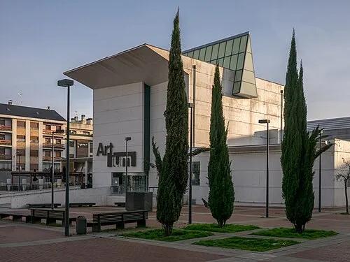 Artium Museum Museum, Gasteiz / Vitoria11 km W
-
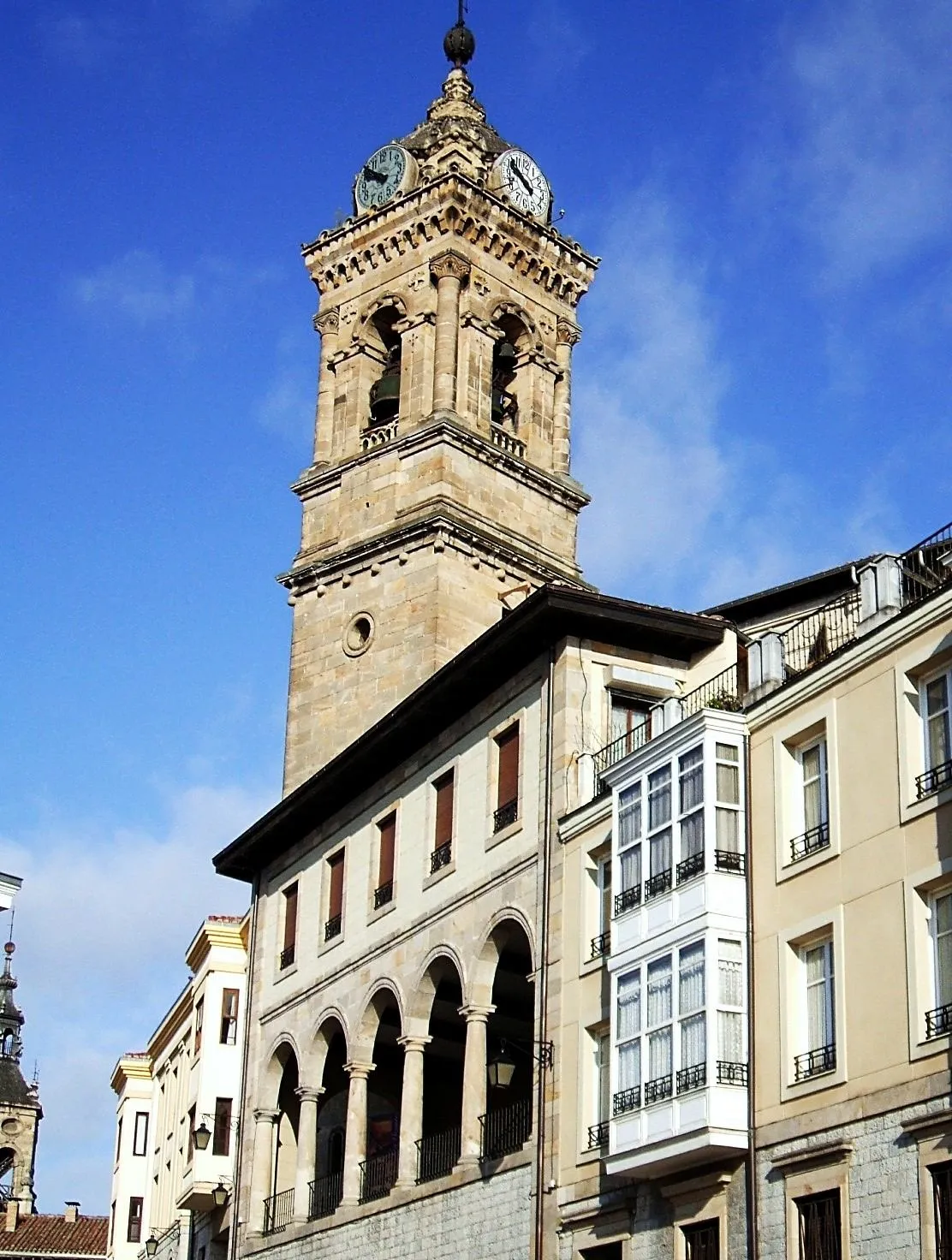 Church of San Vicente Mártir Attraction, Gasteiz / Vitoria12 km W
-
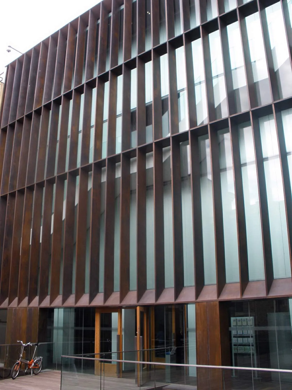 Museo de Arqueología de Álava Museum, Gasteiz / Vitoria12 km W
-
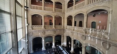 Palacio de Bendaña Historic site, Gasteiz / Vitoria12 km W
-
Reservoir of Ullíbarri-Gamboa Lake, Arratzua-Ubarrundia6 km NW
Sources & licences
Data last updated: