Leza Municipality
Located in Araba / Álava, Basque Country Coordinates: 42°33′58″ N 2°38′00″ W
- Population
- 218
- 218
- Elevation
- 574 m
- above sea level
- Local time
- UTC+01:00
- Europe/Madrid · UTC+01:00
- Places inside
- 2
- listed under Leza Municipality
About Leza Municipality
Leza Municipality is a municipality. Location: Araba / Álava, Basque Country. Population: 218. Elevation: 574 m.
In comparison
- No. 47 of 51 places in Araba / Álava by population
- Nearest larger town: Leza, 0 km S
- 9 sights and natural places within 10 km Poblado de la Hoya, Church of Santa María de los Reyes
- Listed here: Village: 2
Places in Leza Municipality
2 places-
Leza Village229
-
San Mederi Village
Nearby attractions & nature
Everything nearby-
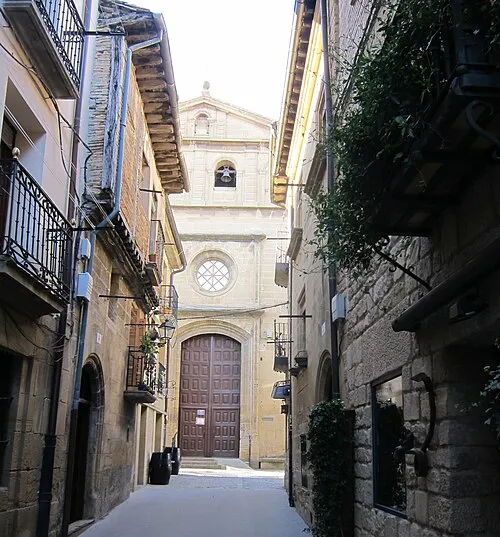 Church of Santa María de los Reyes Attraction, Laguardia4.1 km E
-
Poblado de la Hoya Historic site, Laguardia3.8 km E
-
Toloño mendilerroa / Sierra Toloño Mountain, Lagrán Municipality4.9 km NE
-
Larrasa Mountain, Laguardia4.9 km NE
-
Battle of Monte Laturce Historic site, Ábalos5.8 km W
-
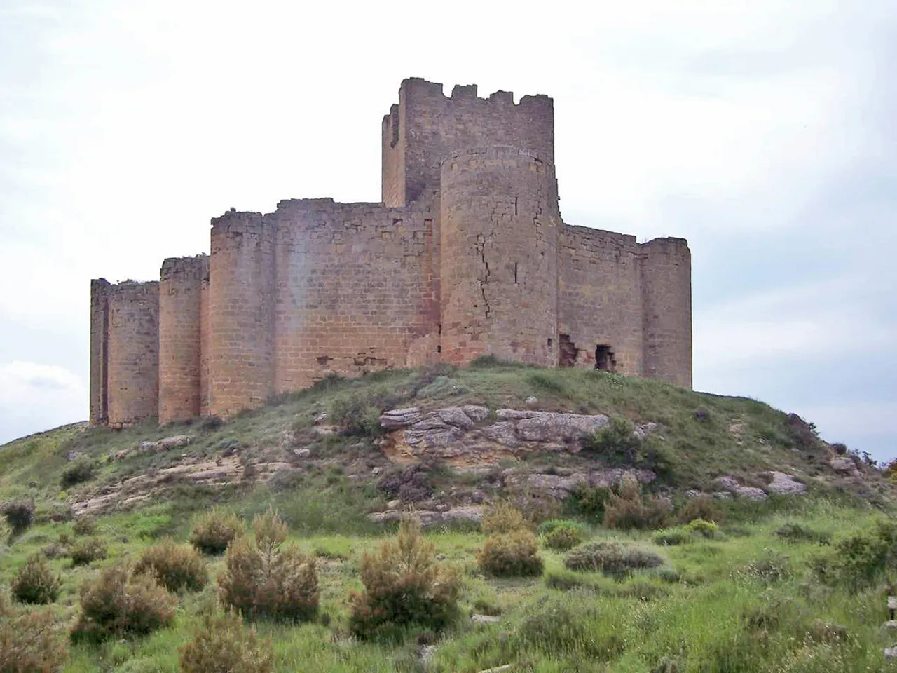 Castillo de Davalillo Historic site, San Asensio8.7 km W
-
Chabola de La Hechicera Historic site, Bilar / Elvillar6.5 km E
-
Río Najerilla River, San Asensio7.2 km SW
Sources & licences
Data last updated: