Adarra
Located in Urnieta, Gipuzkoa Coordinates: 43°12′24″ N 1°57′43″ W
- Elevation
- 811 m
- above sea level
- Local time
- UTC+01:00
- Europe/Madrid · UTC+01:00
About Adarra
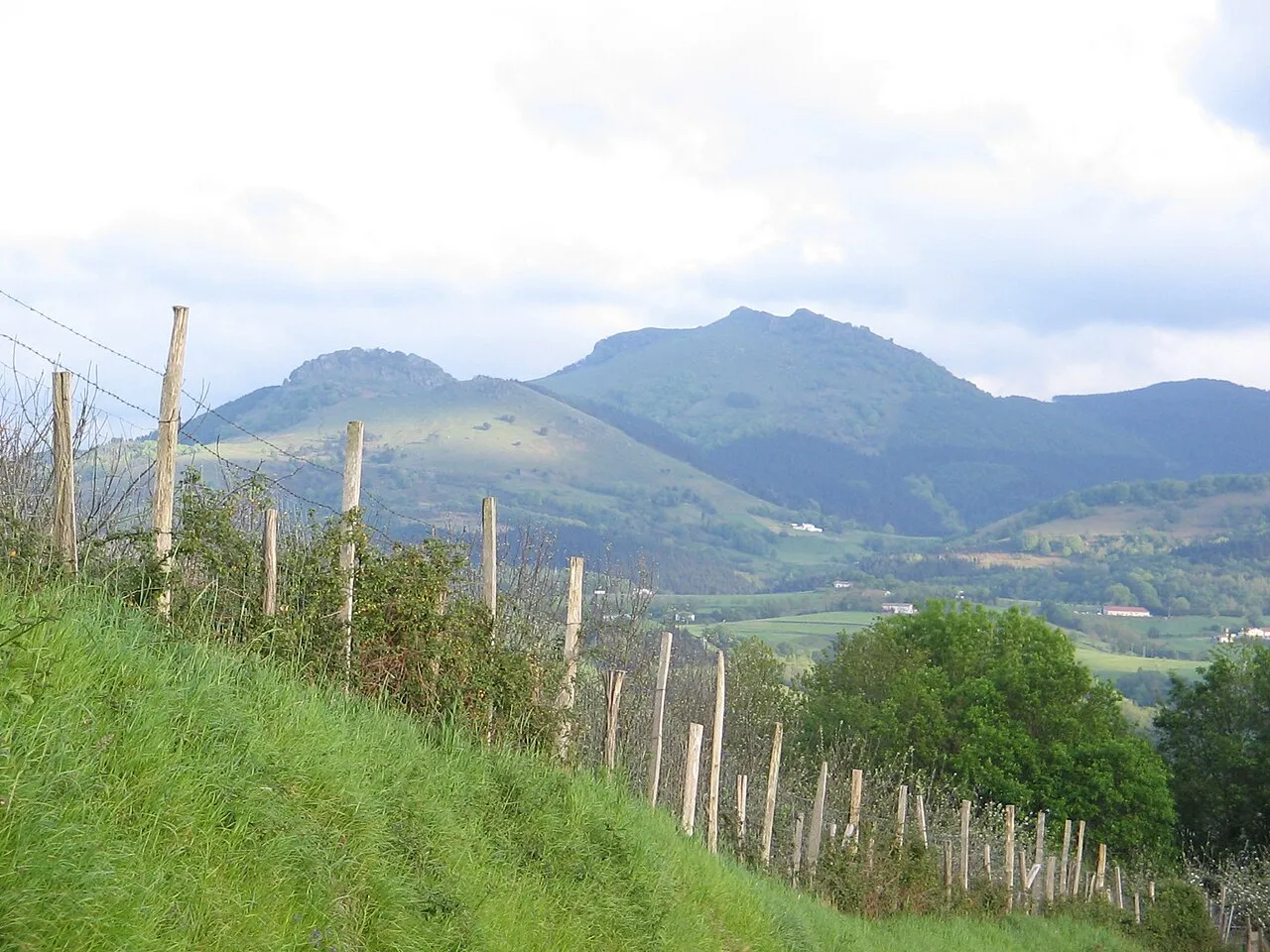
Adarra is a mountain. Location: Urnieta, Gipuzkoa. Elevation: 811 m.
Adarra (short for "Adarramendi", meaning 'mount of horns' in Basque) is a mountain south of the city of San Sebastian in the Basque Country. It is a popular peak with the local residents. The mountain is flanked on the north by the minor summits of Oindi or Onddi (Basque pronunciation: ['onɟi], 545 m) and Onddo (781 m) to the south, all of them located at the top of a long mountain range of modest height between the Urumea and Leitzaran valleys, which extends south right to the edge of the Navarrese town of Leitza.
Read more on Wikipedia Text: Wikipedia contributors · CC BY-SA 4.0 · shortened
At a glance
- Topographic prominence
- 128 m
Source: Wikidata
In comparison
- No. 2314 of 3603 mountains in Spain by elevation
- 20 sights and natural places within 10 km Merkuko harria, Oindi
Nearest towns and villages
Nearby attractions & nature
Everything nearby-
Merkuko harria Mountain, Hernani2.3 km E
-
Oindi Mountain, Urnieta3 km N
-
Urdaburu Mountain, Donostia / San Sebastian6 km NE
-
Río Leizarán River, Spain5 km W
-
Mandoegi Mountain, Goizueta8.2 km SE
-
Aldura Mountain, Errenteria8.8 km NE
-
Parque Botanico Natural site, Hernani7.3 km N
-
Monte Arano Mountain, Arano7.8 km E
Sources & licences
Data last updated: · 2 independent sources