Playa Chica
Located in Las Palmas, Canary Islands Coordinates: 28°55′09″ N 13°40′07″ W
- Elevation
- 0 m
- above sea level
- Local time
- UTC+00:00
- Atlantic/Canary · UTC+00:00
About Playa Chica
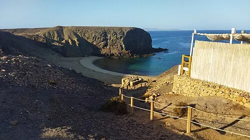
Playa Chica is a beach. Location: Las Palmas, Canary Islands.
In comparison
- 27 sights and natural places within 10 km Puerto del Carmen, Fariones Playa
Airports nearest to Playa Chica
- César Manrique-Lanzarote Airport (ACE) San Bartolomé 7 km
- Fuerteventura Airport (FUE) El Matorral 55 km
- Gran Canaria Airport (LPA) Gran Canaria Island 201 km
Straight-line distance; airports with scheduled flights only. Source: OurAirports (public domain).
Nearest towns and villages
-
Puerto del Carmen Town, Tías0.5 km NE
-
Tías Municipality, Las Palmas2.2 km N
-
Mácher Village, Tías3.9 km NW
-
Tías Town, Tías5.2 km NE
-
San Bartolomé Municipality, Las Palmas8.8 km NE
-
Yaiza Municipality, Las Palmas10 km NW
Nearby attractions & nature
Everything nearby-
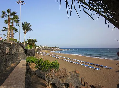 Fariones Playa Beach, Tías0.7 km E
-
Puerto del Carmen Beach, Tías0.7 km E
-
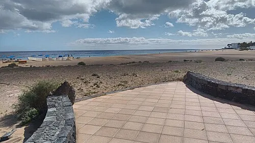 Playa de los Pocillos Beach, Tías3.2 km E
-
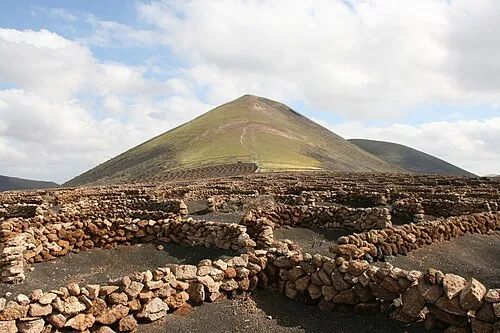 Guardilama Mountain, Yaiza6 km NW
-
Playa Quemada Beach, Yaiza5.1 km SW
-
Playa de Matagorda Beach, Tías6 km E
-
Montaña Norte Mountain, Yaiza5.9 km NW
-
A Casa José Saramago Museum, Tías3.6 km NE
More lakes, rivers and coasts in Spain
-
Lanzarote Island, Las Palmas10 km N
-
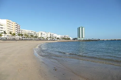 Playa Reducto Beach, Las Palmas12 km E
-
Playa Honda Beach, San Bartolomé8.1 km NE
-
Playa La Casa Beach, Las Palmas8.1 km SW
-
 Playa del Papagayo Beach, Yaiza14 km SW
-
Playa del cable Beach, Las Palmas9.9 km NE
Sources & licences
Data last updated: