El Cuchillo
Located in Tinajo, Las Palmas Coordinates: 29°04′53″ N 13°39′55″ W
- Elevation
- 119 m
- above sea level
- Local time
- UTC+00:00
- Atlantic/Canary · UTC+00:00
About El Cuchillo
El Cuchillo is a village. Location: Tinajo, Las Palmas. Elevation: 119 m.
El Cuchillo is a village in Tinajo, Las Palmas province of western Lanzarote in the Canary Islands.
Read more on Wikipedia Text: Wikipedia contributors · CC BY-SA 4.0 · shortened
In comparison
- Nearest larger town: Tinajo, 2 km SW
- 17 sights and natural places within 10 km Caletón de las Ánimas, La Isleta
Nearby attractions & nature
Everything nearby-
La Isleta Island, Tinajo4.2 km N
-
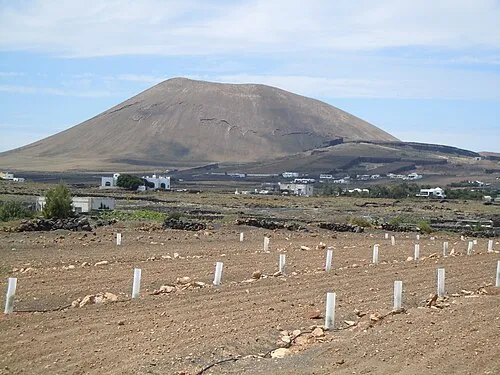 Montaña Tamia Mountain, Teguise5.8 km SE
-
Caletón de las Ánimas Natural site, Tinajo4.1 km W
-
Museo Agrícola El Patio Museum, Teguise4.3 km SE
-
Playa El Complejo Beach, Tinajo4.6 km N
-
Caldera Trasera Natural site, Teguise6.7 km E
Sources & licences
Data last updated: · 2 independent sources