Candilichera
Located in Soria, Castille and León Coordinates: 41°43′52″ N 2°17′50″ W
- Population
- 136
- 136
- Elevation
- 1,047 m
- above sea level
- Local time
- UTC+01:00
- Europe/Madrid · UTC+01:00
- Places inside
- 5
- listed under Candilichera
About Candilichera
Candilichera is a municipality. Location: Soria, Castille and León. Population: 136. Elevation: 1,047 m.
In comparison
- No. 59 of 183 places in Soria by population
- Nearest larger town: Candilichera, 3 km S
- Listed here: Village: 5
Places in Candilichera
5 places-
Candilichera Village198
-
Carazuelo Village
-
Duáñez Village
-
Fuentetecha Village
-
Mazalvete Village
Nearby attractions & nature
Everything nearby-
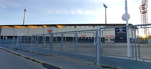 Nuevo Estadio Los Pajaritos Landmark, Soria14 km W
-
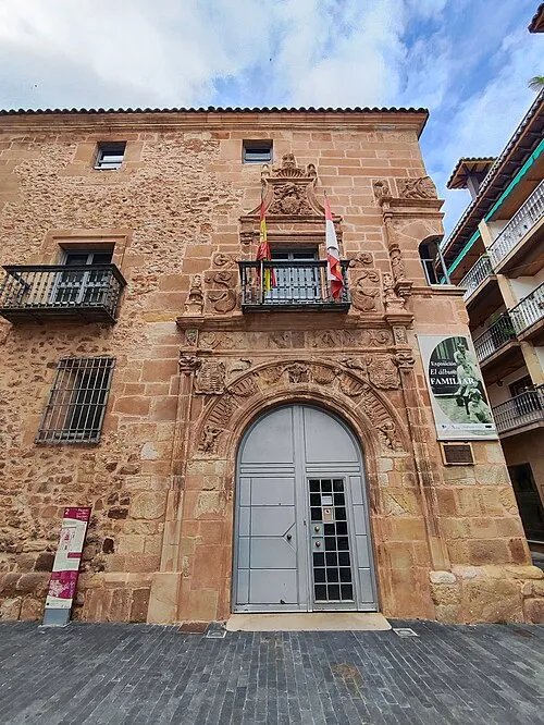 Palace of los Ríos y Salcedo Historic site, Soria15 km W
-
Renieblas III Historic site, Renieblas12 km NW
-
Renieblas II Historic site, Renieblas12 km NW
-
Renieblas V Historic site, Renieblas12 km NW
-
Renieblas I Historic site, Renieblas12 km NW
-
Sierra del Almuerzo Mountain, Suellacabras13 km N
-
Sierra de Santa Ana Mountain, Soria13 km W
Other cities and towns in Soria
-
Soria Municipality, Soria16 km W
-
Renieblas Municipality, Soria9.8 km NW
-
Aldehuela de Periáñez Municipality, Soria8.8 km N
-
Aldealafuente Municipality, Soria10 km S
-
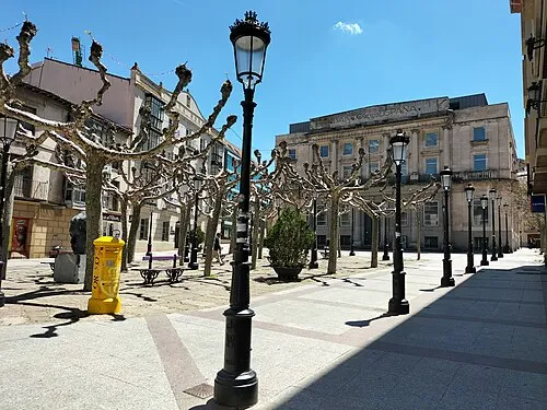 Soria City, Soria15 km W
-
Almajano Municipality, Soria13 km N
Sources & licences
Data last updated: