Rábanos, Los
Located in Soria, Castille and León Coordinates: 41°41′07″ N 2°28′32″ W
- Population
- 525
- 525
- Elevation
- 1,047 m
- above sea level
- Local time
- UTC+01:00
- Europe/Madrid · UTC+01:00
- Places inside
- 4
- listed under Rábanos, Los
About Rábanos, Los
Rábanos, Los is a municipality. Location: Soria, Castille and León. Population: 525. Elevation: 1,047 m.
In comparison
- No. 20 of 183 places in Soria by population
- Nearest larger town: Soria, 9 km N
- 15 sights and natural places within 10 km Sierra de Santa Ana, Nuevo Estadio Los Pajaritos
- Listed here: Village: 4
Places in Rábanos, Los
4 places-
Los Rábanos Village488
-
Tardajos de Duero Village66
-
Miranda de Duero Village
-
Navalcaballo Village
Nearby attractions & nature
Everything nearby-
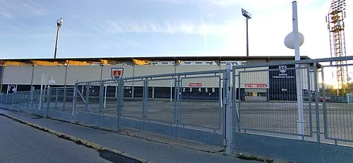 Nuevo Estadio Los Pajaritos Landmark, Soria7.7 km N
-
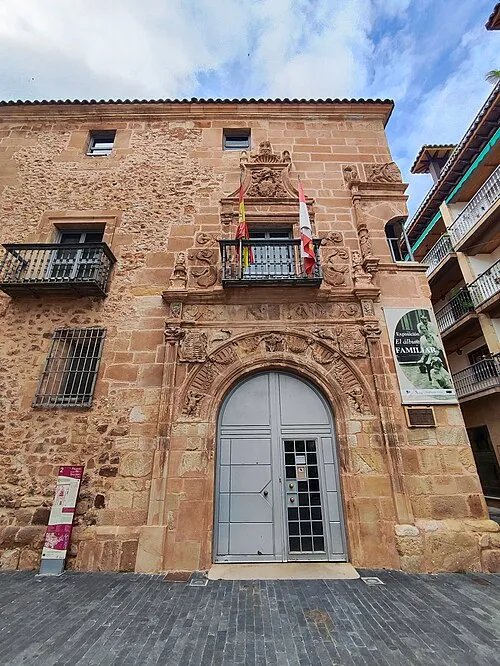 Palace of los Ríos y Salcedo Historic site, Soria8.9 km N
-
Sierra de Santa Ana Mountain, Soria7.6 km N
-
El Espino Attraction, Soria8.6 km N
-
el Castillo Park Natural site, Soria8.6 km N
-
San Juan de Rabanera Attraction, Soria8.7 km N
-
Teatro Palacio de la Audiencia Attraction, Soria8.7 km N
-
Centro Cultural Palacio de la Audiencia de Soria Attraction, Soria8.8 km N
Sources & licences
Data last updated: