Villadepera
Located in Zamora, Castille and León Coordinates: 41°32′25″ N 6°08′20″ W
- Population
- 253
- 253
- Elevation
- 777 m
- above sea level
- Local time
- UTC+01:00
- Europe/Madrid · UTC+01:00
- Places inside
- 2
- listed under Villadepera
About Villadepera
Villadepera is a municipality. Location: Zamora, Castille and León. Population: 253. Elevation: 777 m.
Villadepera de Sayago is a rural municipality of the Spanish Zamora Province. On 1 January 2025 Villadepera had a total population of 165. Villadepera is situated in a region where the Douro forms narrow canyons for 112 km, and that has now a protected status as the International Douro Natural Park.
Read more on Wikipedia Text: Wikipedia contributors · CC BY-SA 4.0 · shortened
At a glance
- Area
- 30.1 km²
Source: Wikidata
In comparison
- No. 145 of 248 places in Zamora by population
- Nearest larger town: Villadepera, 1 km NE
- 2 sights and natural places within 10 km Arroyo de Fuentelarraya, Arroyo de los Molinos
- Listed here: River: 1, Village: 1
Places in Villadepera
2 places-
Villadepera Village269
-
Arroyo de Fuentelarraya River
Nearby attractions & nature
Everything nearby-
Arroyo de los Molinos River, Fariza6.5 km W
-
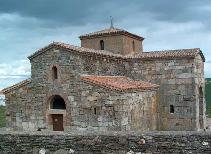 San Pedro de la Nave Attraction, San Pedro de la Nave-Almendra15 km E
-
Valle del Duero Natural site, Torregamones12 km SW
-
Fuerte Nuevo de Torregamones Historic site, Torregamones11 km SW
-
Arroyo de la Rivera River, Pereruela12 km SE
-
Río Malo River, Muelas del Pan13 km E
-
Río Esla River, Spain13 km E
-
Río Aliste River, Carbajales de Alba15 km NE
Sources & licences
Data last updated: · 2 independent sources