Llançà
Located in Girona, Catalonia Coordinates: 42°21′41″ N 3°09′01″ E
- Population
- 5,105
- 5.1K
- Elevation
- 23 m
- above sea level
- Local time
- UTC+01:00
- Europe/Madrid · UTC+01:00
- Places inside
- 23
- listed under Llançà
About Llançà
Llançà is a municipality. Location: Girona, Catalonia. Population: 5,105. Elevation: 23 m.
In comparison
- No. 33 of 221 places in Girona by population
- Nearest larger town: Roses, 11 km S
- 65 sights and natural places within 10 km Escola d'Art J. Martínez Lozano, Església de Sant Vicenç
- Listed here: Neighbourhood: 8, Beach: 5, Mountain: 4, Village: 3
Places in Llançà
23 places-
Llançà Village4.9K
-
Cap Ras Neighbourhood
-
el Port Neighbourhood
-
els Estanys-Sant Genís Neighbourhood
-
Església de Sant Vicenç Attraction
-
Fener de Baix Neighbourhood
-
Fener de Dalt Neighbourhood
-
Grifeu Village
-
la Farella Neighbourhood
-
l'Argilera Neighbourhood
-
Montperdut Mountain
-
Platja de Canyelles Beach
-
Platja de la Farella Beach
-
Platja del Cau del Llop Beach
-
Platja de les Tonyines Beach
-
Platja del Port Beach
-
Puig de les Aigües Mountain
-
Puig del Llop Mountain
-
Puig del Vaquer Mountain
-
Setcases Neighbourhood
-
Valleta Village
Nearby attractions & nature
Everything nearby-
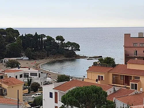 Platja de Grifeu Beach, Girona2.2 km N
-
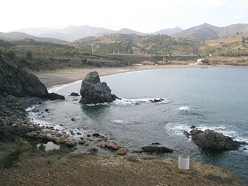 Platja de Garbet Beach, Girona3.5 km N
-
Puig de la Coma d'en Ral Mountain, Colera2.6 km N
-
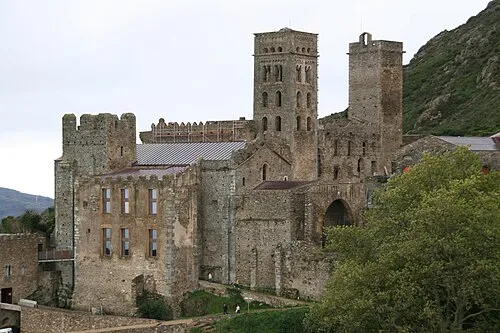 Sant Pere de Rodes Attraction, el Port de la Selva4.4 km S
-
la Roca Mountain, el Port de la Selva2.9 km S
-
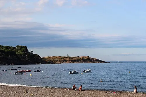 Platja de la Vall Beach, el Port de la Selva3.6 km SE
-
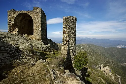 Castell de Verdera Historic site, el Port de la Selva4.8 km S
-
Puig Tifell Mountain, Colera3.5 km NW
Sources & licences
Data last updated: