Castell de Pals
Located in Pals, Girona Coordinates: 41°58′20″ N 3°08′38″ E
- Local time
- UTC+01:00
- Europe/Madrid · UTC+01:00
- Elevation
- 51 m
- above sea level
About Castell de Pals
Castell de Pals is a historic site. Location: Pals, Girona.
In comparison
- 62 sights and natural places within 10 km Quermany Petit, Quermany Gros
Airports nearest to Castell de Pals
- Girona-Costa Brava Airport (GRO) Girona 33 km
- Perpignan-Rivesaltes (Llabanère) Airport (PGF) Perpignan/Rivesaltes 88 km
- Josep Tarradellas Barcelona-El Prat Airport (BCN) Barcelona 116 km
Straight-line distance; airports with scheduled flights only. Source: OurAirports (public domain).
Nearby attractions & nature
Everything nearby-
Quermany Petit Mountain, Pals1.6 km SE
-
Quermany Gros Mountain, Pals2.6 km SE
-
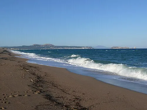 Platja de Pals Beach, Pals5.2 km NE
-
Castell de Begur Historic site, Begur5.6 km E
-
el Daró River, Catalonia3.1 km N
-
Museu del Suro Museum, Palafrugell6.2 km S
-
Museo Can Mario de Palafrugell Museum, Palafrugell6.2 km S
-
Dipòsit Modernista de Can Mario Museum, Palafrugell6.3 km S
Nearest towns and villages
-
Pals Village, Pals0.4 km E
-
Palau-sator Municipality, Girona2.5 km NW
-
Torrent Village, Torrent2.6 km SW
-
Torrent Municipality, Girona2.5 km S
Sources & licences
Data last updated: