Punta de Romazet
Located in Alins, Lleida Coordinates: 42°38′24″ N 1°25′03″ E
- Elevation
- 2,846 m
- above sea level
- Local time
- UTC+01:00
- Europe/Madrid · UTC+01:00
About Punta de Romazet
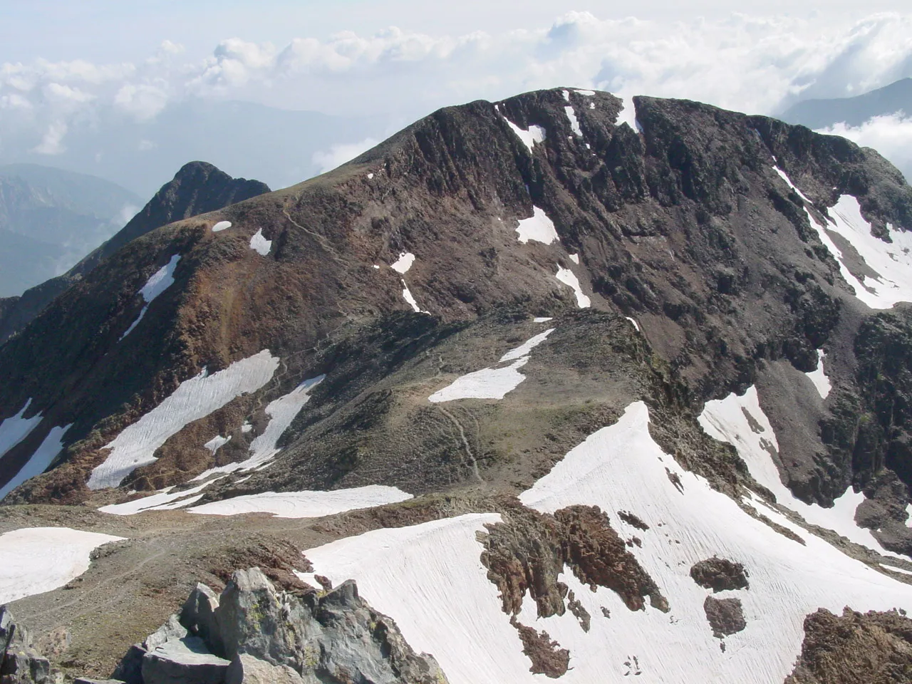
Punta de Romazet is a mountain. Location: Alins, Lleida. Elevation: 2,846 m.
In comparison
- No. 160 of 3603 mountains in Spain by elevation
- 49 sights and natural places within 10 km Pica Roja, Serre Plénière
Nearest towns and villages
Nearby attractions & nature
Everything nearby-
Pica Roja Mountain, Alins1.7 km S
-
Serre Plénière Mountain, Auzat1.7 km N
-
Pic d'Areste Mountain, Alins1.7 km W
-
Pic Oriental de Canalbonne Mountain, Auzat1.8 km N
-
Pic de Canalbona Mountain, Alins2.1 km NW
-
 Pic de Montcalm Mountain, Auzat3.7 km N
-
Pic Rodó de Canalbona Mountain, Alins2.8 km NW
-
Pica d'Estats Mountain, Auzat3.4 km NW
Sources & licences
Data last updated: