Tuc de Gurièr
Located in Naut Aran, Lleida Coordinates: 42°47′15″ N 0°59′36″ E
- Elevation
- 2,519 m
- above sea level
- Local time
- UTC+01:00
- Europe/Madrid · UTC+01:00
About Tuc de Gurièr
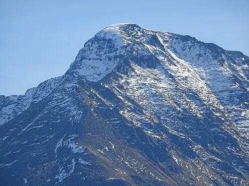
Tuc de Gurièr is a mountain. Location: Naut Aran, Lleida. Elevation: 2,519 m.
In comparison
- No. 445 of 3603 mountains in Spain by elevation
- 51 sights and natural places within 10 km Pic du Port d'Orle, Pic de Barlonguère
Airports nearest to Tuc de Gurièr
- Pirineus - la Seu d'Urgel Airport (LEU) La Seu d'Urgell Pyrenees and Andorra 60 km
- Tarbes-Lourdes-Pyrénées Airport (LDE) Tarbes/Lourdes/Pyrénées 92 km
- Toulouse-Blagnac Airport (TLS) Toulouse/Blagnac 98 km
Straight-line distance; airports with scheduled flights only. Source: OurAirports (public domain).
Nearest towns and villages
Nearby attractions & nature
Everything nearby-
Pic du Port d'Orle Mountain, Bonac-Irazein0.9 km W
-
Pic de Barlonguère Mountain, France1.4 km E
-
Tuc des Cingles Mountain, Naut Aran1.9 km NW
-
 Mail de Bulard Mountain, Bonac-Irazein3.4 km NW
-
Coma Chireta Mountain, Bordes-Uchentein4.7 km E
-
Pic de Villeneuve Mountain, Sentein4.1 km NW
-
Tuc dels Tres Comtes Mountain, Alt Àneu4.2 km E
-
Pic de Sernaille Mountain, Bordes-Uchentein5.4 km E
Sources & licences
Data last updated: