Carral
Located in A Coruña, Galicia Coordinates: 43°12′43″ N 8°21′36″ W
- Population
- 6,130
- 6.1K
- Elevation
- 77 m
- above sea level
- Local time
- UTC+01:00
- Europe/Madrid · UTC+01:00
- Places inside
- 13
- listed under Carral
About Carral
Carral is a municipality. Location: A Coruña, Galicia. Population: 6,130. Elevation: 77 m.
Carral is a municipality of northwestern Spain in the province of A Coruña, in the autonomous community of Galicia. It is located 17 kilometers from the provincial capital of A Coruña. It has an area of 48 km2, a population of 6,581 (2021) and a population density of 113.6 people/km2. It borders with the municipalities of Ordes, Abegondo, Cambre, Cerceda and Culleredo.
Read more on Wikipedia Text: Wikipedia contributors · CC BY-SA 4.0 · shortened
At a glance
- Area
- 48 km²
Source: Wikidata
In comparison
- No. 40 of 91 places in A Coruña by population
- Nearest larger town: Culleredo, 7 km N
- 13 sights and natural places within 10 km Montes del Xalo, Mesón do Vento Mediumwave Transmitter
- Listed here: Village: 12, Town: 1
Places in Carral
13 placesNearby attractions & nature
Everything nearby-
Montes del Xalo Mountain, Cerceda5.7 km W
-
Mesón do Vento Mediumwave Transmitter Landmark, Ordes6.8 km S
-
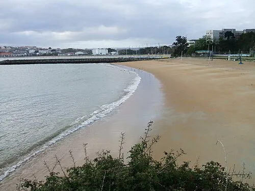 Playa de Oza Beach, A Coruña15 km N
-
Parroquia de Santiago de Sigras Attraction, Cambre8.3 km N
-
Igrexa nova de Santo Estevo de Culleredo Attraction, Culleredo8.8 km N
-
Parque municipal de Tarrio Natural site, Culleredo8.7 km N
-
Parque infantil Tarrio Natural site, Culleredo8.8 km N
-
Río Barcés River, Abegondo8.1 km NE
Sources & licences
Data last updated: · 2 independent sources